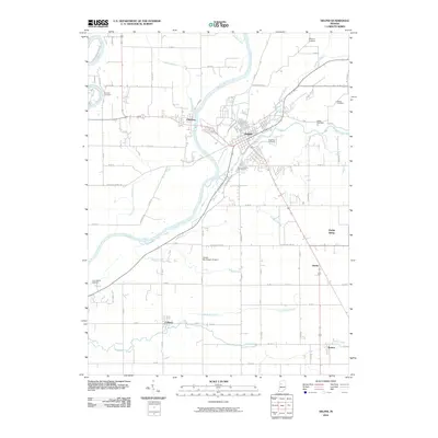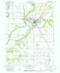
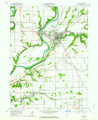
1962 Map of Delphi
USGS Topo · Published 1980About this map
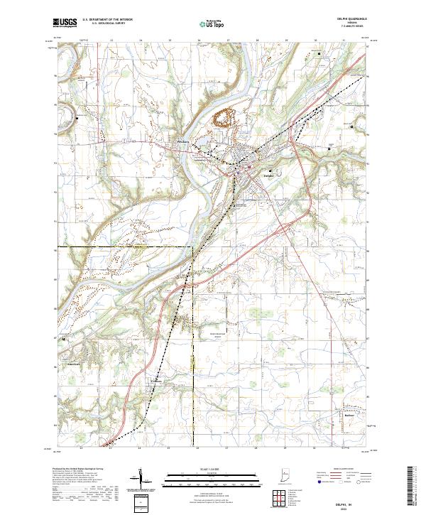
The Wabash River and Tippecanoe River converge just west of Delphi, where the regional transport economy is clearly visible through the surviving infrastructure of the Norfolk and Western and Louisville and Nashville railroads. The map records a landscape transitioning from its canal-era roots, evidenced by the Towpath Road, toward mid-century industrial utility seen in the quarries and gravel pits flanking the watercourses. Smaller rural hubs like Pittsburg and Colburn are detailed alongside family-named landmarks such as the Cunningham Cem and Mears Cem, providing a dense record for genealogical research. Cultural and civic life in the early 1960s is anchored by the St Josephs Ch, the County Home, and local education centers like the New Hope Sch.
Find a feature on this map
49 named features on this map. Tap any name to fly to it.
Don’t see what you’re looking for? This feature index may not catch every label — zoom into the map to look around manually.
Map Details
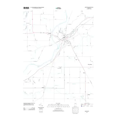
Editions of this 1962 Delphi Map
2 editions found
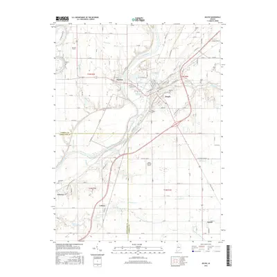
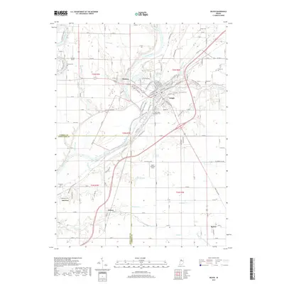
Historical Maps of Delphi Through Time
6 maps found