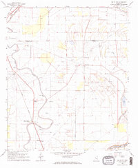
1968 Map of Delta City
USGS Topo · Published 1970About this map
Deer Creek meanders through the alluvial landscape of the Mississippi Delta, anchoring a series of small agricultural communities and plantations in the late 1960s. The Illinois Central railroad corridor serves as the primary spine for development, linking settlements such as Panther Burn, Vickland, and Nitta Yuma. Evidence of deep historical occupancy is visible in several Indian Mounds scattered across the floodplain, including a prominent cluster near Delta City. The map reveals a specialized landscape defined by water management and aviation, featuring the Davis Landing Field, a sprawling Pipeline, and numerous water bodies like Murphy Bayou and Jaynes Bayou. Religious and community life is documented through rural landmarks such as Sweet Home Ch and Hebron Ch, along with family-associated cemeteries like Georgia Bend Cem and Vickland Cem.
Find a feature on this map
34 named features on this map. Tap any name to fly to it.
Don’t see what you’re looking for? This feature index may not catch every label — zoom into the map to look around manually.
Map Details
Editions of this 1968 Delta City Map
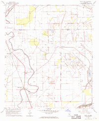
2 editions found
Other maps of this area

1939 · Lorenzen
USGS Topo · 1:62,500

1939 · Swan Lake
USGS Topo · 1:62,500

1940 · Auter
USGS Topo · 1:62,500

1953 · Greenwood
USGS Topo · 1:250,000

1955 · Jackson
USGS Topo · 1:250,000

1956 · Greenwood
USGS Topo · 1:250,000

1961 · Jackson
USGS Topo · 1:250,000

1961 · Bayland
USGS Topo · 1:62,500

1962 · Jackson
USGS Topo · 1:250,000

1964 · Lorenzen
USGS Topo · 1:62,500