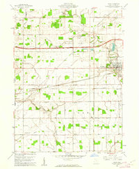
1960 Map of Delta
USGS Topo · Published 1962About this map
Delta serves as a significant rail and transit hub in northwestern Ohio as of 1960, situated where the New York Central, Wabash, and Toledo and Ironton railroads converge. The landscape is structured by the rectangular survey system, with the Ohio Turnpike and its accompanying Toll Road cutting a modern path across traditional farmland. Local life is anchored by rural landmarks like the Grange Hall and the Township Sch, while the settlement of Winameg occupies the northern reaches near the South Branch Bad Creek. Family histories are preserved in numerous small burial grounds such as Berkebile Cem and Ruppert Cem, scattered across the townships of Pike, York, and Dover. To the south, North Turkeyfoot Creek meanders through the terrain, reflecting the area's natural drainage before reaching the developed corridors of West Delta and South Delta.
Find a feature on this map
38 named features on this map. Tap any name to fly to it.
Don’t see what you’re looking for? This feature index may not catch every label — zoom into the map to look around manually.
Map Details
Editions of this 1960 Delta Map
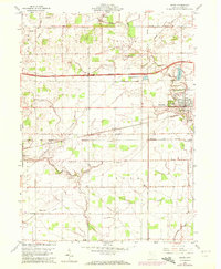
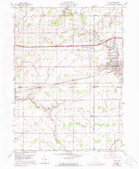
3 editions found
Other maps of this area

1908 · Napoleon
USGS Topo · 1:62,500

1909 · Mc Clure
USGS Topo · 1:62,500

1911 · Wauseon
USGS Topo · 1:62,500

1911 · Swanton
USGS Topo · 1:62,500

1913 · Wauseon
USGS Topo · 1:62,500

1914 · Swanton
USGS Topo · 1:62,500

1943 · Wauseon
USGS Topo · 1:62,500

1953 · Fort Wayne
USGS Topo · 1:250,000

1956 · Fort Wayne
USGS Topo · 1:250,000

1956 · Toledo
USGS Topo · 1:250,000