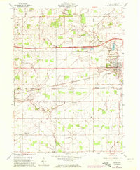
1960 Map of Delta
USGS Topo · Published 1972About this map
The village of Delta is the primary hub of activity in this 1960s study of central Fulton County, shown just as the Ohio Turnpike Toll Road had become a dominant corridor through the agricultural landscape. The town is bordered by the Delta Reservoir and the Waterworks, while its residential growth is marked by West Delta and South Delta. The surrounding townships of Pike, Dover, Clinton, and York are dotted with family-named landmarks and rural institutions that define the local genealogy, including the Greenlawn Cemetery and several country houses of worship like Swan Creek Ch and Bethany Ch.
Find a feature on this map
34 named features on this map. Tap any name to fly to it.
Don’t see what you’re looking for? This feature index may not catch every label — zoom into the map to look around manually.
Map Details
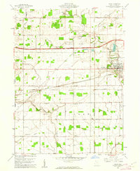
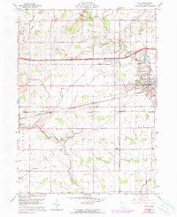
Editions of this 1960 Delta Map
3 editions found
Other maps of this area

1908 · Napoleon
USGS Topo · 1:62,500

1909 · Mc Clure
USGS Topo · 1:62,500

1911 · Wauseon
USGS Topo · 1:62,500

1911 · Swanton
USGS Topo · 1:62,500

1913 · Wauseon
USGS Topo · 1:62,500

1914 · Swanton
USGS Topo · 1:62,500

1943 · Wauseon
USGS Topo · 1:62,500

1953 · Fort Wayne
USGS Topo · 1:250,000

1956 · Fort Wayne
USGS Topo · 1:250,000

1956 · Toledo
USGS Topo · 1:250,000