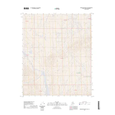
2023 Map of Demarcation Point B-5 NE
USGS Topo · Published 2023About this map
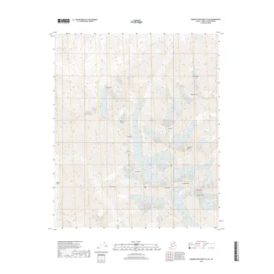
The Arctic National Wildlife Refuge encompasses this terrain in the North Slope, where the braided channels of the Jago River dominate the lowlands. This landscape is defined by its glacial hydrology, as the river system is fed by multiple tributaries including McCall Creek and Igilakvik Creek. To the east, the map preserves the boundary of the Mollie Beathie Wilderness, a protected area established to maintain the integrity of one of the continent's most significant ecological preserves. Rising above the river valleys, Marie Mtn serves as a primary topographic landmark in a region characterized by its lack of human infrastructure or permanent settlements. The map illustrates the natural drainage patterns of the coastal plain as they existed in the early twenty-first century, providing a clear view of the shifting riverbeds and high-latitude tundra typical of this portion of Alaska.
Find a feature on this map
13 named features on this map. Tap any name to fly to it.
Don’t see what you’re looking for? This feature index may not catch every label — zoom into the map to look around manually.
Map Details
Editions of this 2023 Demarcation Point B-5 NE Map
This is the sole edition of this map. No revisions or reprints were ever made.
Other maps of this area

1951 · Demarcation Point
USGS Topo · 1:250,000

1955 · Demarcation Point
USGS Topo · 1:250,000

1955 · Demarcation Point C-5
USGS Topo · 1:63,360

1955 · Demarcation Point C-4
USGS Topo · 1:63,360
1956 · Demarcation Point B-4
USGS Topo · 1:63,360

1956 · Demarcation Point B-5
USGS Topo · 1:63,360

1964 · Demarcation Point
USGS Topo · 1:250,000
2018 · Demarcation Point B-5 SE
USGS Topo · 1:25,000
2018 · Demarcation Point C-4 SW
USGS Topo · 1:25,000
2018 · Demarcation Point B-5 SW
USGS Topo · 1:25,000