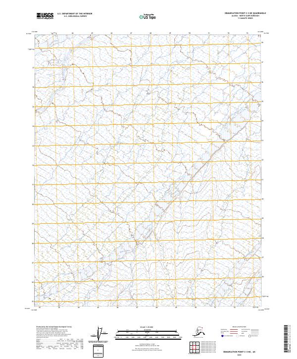
2023 Map of Demarcation Point C-3 NE
USGS Topo · Published 2023About this map
The Mollie Beattie Wilderness and the broader Arctic National Wildlife Refuge define this remote section of the North Slope. This environment is shaped by a series of north-flowing watercourses, including the Aichilik River in the northwest and the Egaksrak River which traverses the central and southern portions of the sheet. The drainage patterns of Redwacke Creek and the Ekaluakat River further characterize the hydrology of this undeveloped landscape. Mapped in the early 21st century, the area remains a preservation of arctic tundra and braided river systems, with no roads or permanent settlements recorded. The map provides precise documentation of the Public Land Survey System, showing the township boundaries from t5n r39e through t3n r40e, which are essential for identifying specific tracts within this protected wilderness.
Find a feature on this map
12 named features on this map. Tap any name to fly to it.
Don’t see what you’re looking for? This feature index may not catch every label — zoom into the map to look around manually.
Map Details
Editions of this 2023 Demarcation Point C-3 NE Map
This is the sole edition of this map. No revisions or reprints were ever made.
Other maps of this area

1951 · Demarcation Point
USGS Topo · 1:250,000

1955 · Demarcation Point
USGS Topo · 1:250,000

1955 · Demarcation Point D-3
USGS Topo · 1:63,360

1955 · Demarcation Point D-2
USGS Topo · 1:63,360

1955 · Demarcation Point C-2
USGS Topo · 1:63,360

1955 · Demarcation Point C-3
USGS Topo · 1:63,360

1962 · Demarcation Point D-3
USGS Topo · 1:50,000

1964 · Demarcation Point
USGS Topo · 1:250,000
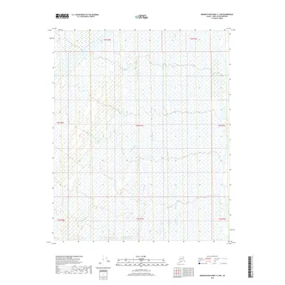
2018 · Demarcation Point C-2 NW
USGS Topo · 1:25,000
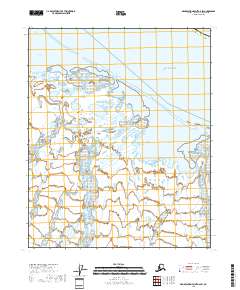
2018 · Demarcation Point D-2 SW
USGS Topo · 1:25,000