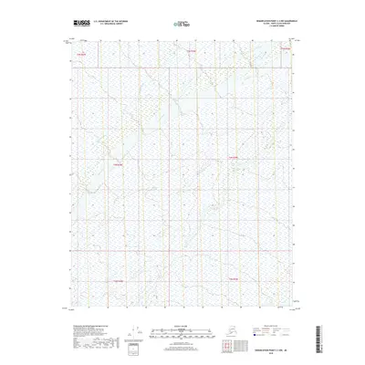
2018 Map of Demarcation Point C-3 NW
USGS Topo · Published 2018About this map
Aichilik River meanders across this Arctic landscape in the North Slope Borough, carving a complex network of braids and tributaries through the tundra. The river's path dominates the central and eastern portions of the map, illustrating the dynamic hydrology of the region near the northern coast of Alaska. To the west, the Kogotpak River flows through the wetland-rich terrain, where countless small ponds and saturated soils define the physical geography. This remote area, mapped in the early 21st century, reflects a wilderness largely untouched by permanent road infrastructure or settlements, instead emphasizing the vastness of the natural water systems and the systematic grid of the Public Land Survey System including t5n r38e and t4n r39e.
Find a feature on this map
9 named features on this map. Tap any name to fly to it.
Don’t see what you’re looking for? This feature index may not catch every label — zoom into the map to look around manually.
Map Details
Editions of this 2018 Demarcation Point C-3 NW Map
This is the sole edition of this map. No revisions or reprints were ever made.
Other maps of this area

1951 · Demarcation Point
USGS Topo · 1:250,000

1955 · Demarcation Point
USGS Topo · 1:250,000

1955 · Demarcation Point D-3
USGS Topo · 1:63,360

1955 · Demarcation Point C-4
USGS Topo · 1:63,360

1955 · Demarcation Point D-4
USGS Topo · 1:63,360

1955 · Demarcation Point C-3
USGS Topo · 1:63,360

1962 · Demarcation Point D-3
USGS Topo · 1:50,000

1964 · Demarcation Point
USGS Topo · 1:250,000
2018 · Demarcation Point D-3 SE
USGS Topo · 1:25,000
2018 · Demarcation Point C-3 SE
USGS Topo · 1:25,000