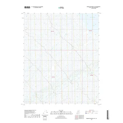
2018 Map of Demarcation Point D-3 SE
USGS Topo · Published 2018About this map
The Beaufort Sea coastline meets the northern edge of this remote Arctic landscape, where the Ningagapak Lagoon forms a distinct transition between the marine and terrestrial environments. Further inland, the complex drainage patterns of the Kogotpak River and the Aichilik River dictate the character of the terrain, as these waterways meander through the North Slope. This 2018 survey by the U.S. Geological Survey provides a precise view of the hydrology and boundary markings within townships t6n r39e, t6n r40e, t5n r39e, and t5n r40e, capturing a vast expanse of wetland and tundra typical of this high-latitude region.
Find a feature on this map
8 named features on this map. Tap any name to fly to it.
Don’t see what you’re looking for? This feature index may not catch every label — zoom into the map to look around manually.
Map Details
Editions of this 2018 Demarcation Point D-3 SE Map
This is the sole edition of this map. No revisions or reprints were ever made.
Other maps of this area

1951 · Demarcation Point
USGS Topo · 1:250,000

1955 · Demarcation Point
USGS Topo · 1:250,000

1955 · Demarcation Point D-3
USGS Topo · 1:63,360

1955 · Demarcation Point D-2
USGS Topo · 1:63,360

1955 · Demarcation Point C-2
USGS Topo · 1:63,360

1955 · Demarcation Point C-3
USGS Topo · 1:63,360

1962 · Demarcation Point D-3
USGS Topo · 1:50,000

1964 · Demarcation Point
USGS Topo · 1:250,000
2018 · Demarcation Point C-2 NW
USGS Topo · 1:25,000
2018 · Demarcation Point D-2 SW
USGS Topo · 1:25,000