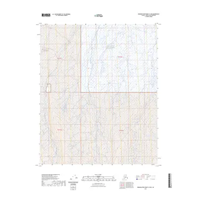
2023 Map of Demarcation Point C-5 SW
USGS Topo · Published 2023About this map
The Mollie Beattie Wilderness and Arctic National Wildlife Refuge define this northern Alaskan landscape, where the tundra is carved by braided glacial waterways. The western edge of the sheet is dominated by the Okpilak River, which meanders through a network of wetlands and seasonal ponds. Moving eastward, Okpauruk Creek and the Jago River flow toward the coast, illustrating the hydrologic patterns of the North Slope. Lacking roads or permanent settlements, the area is preserved as a vast wilderness corridor. This survey documents the natural state of the coastal plain as it transitions into the foothills, providing a high-resolution look at the shifting riverbeds and land boundaries within these protected federal lands.
Find a feature on this map
9 named features on this map. Tap any name to fly to it.
Don’t see what you’re looking for? This feature index may not catch every label — zoom into the map to look around manually.
Map Details
Editions of this 2023 Demarcation Point C-5 SW Map
This is the sole edition of this map. No revisions or reprints were ever made.
Other maps of this area

1951 · Demarcation Point
USGS Topo · 1:250,000

1951 · Mt. Michelson
USGS Topo · 1:250,000

1955 · Demarcation Point
USGS Topo · 1:250,000

1955 · Mount Michelson B-1
USGS Topo · 1:63,360

1955 · Mount Michelson C-1
USGS Topo · 1:63,360

1955 · Demarcation Point C-5
USGS Topo · 1:63,360

1956 · Mt. Michelson
USGS Topo · 1:250,000

1956 · Demarcation Point B-5
USGS Topo · 1:63,360

1964 · Demarcation Point
USGS Topo · 1:250,000
2018 · Mount Michelson B-1 NE
USGS Topo · 1:25,000