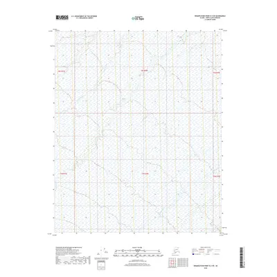
2018 Map of Demarcation Point D-3 SW
USGS Topo · Published 2018About this map
The Sikrelurak River and Angun River flow through this remote section of the North Slope, revealing a landscape defined by arctic hydrology and the complex drainage patterns of the Alaskan tundra. This 2018 survey provides a clear view of the winding riverbeds and extensive wetland systems that characterize the region before they reach the Beaufort Sea. The braided channels of the Kongakut River are visible in the southeastern corner, illustrating the dynamic nature of these northern waterways. Without settlements or roads, the map focuses on the natural topography and the Public Land Survey System grid, including townships t6n r38e and t5n r38e. It serves as a vital record of the untouched wilderness within the Demarcation Point quadrangle, useful for environmental researchers and those studying the preservation of these critical watersheds.
Find a feature on this map
9 named features on this map. Tap any name to fly to it.
Don’t see what you’re looking for? This feature index may not catch every label — zoom into the map to look around manually.
Map Details
Editions of this 2018 Demarcation Point D-3 SW Map
This is the sole edition of this map. No revisions or reprints were ever made.
Other maps of this area

1951 · Demarcation Point
USGS Topo · 1:250,000

1955 · Demarcation Point
USGS Topo · 1:250,000

1955 · Demarcation Point D-3
USGS Topo · 1:63,360

1955 · Demarcation Point C-4
USGS Topo · 1:63,360

1955 · Demarcation Point D-4
USGS Topo · 1:63,360

1955 · Demarcation Point C-3
USGS Topo · 1:63,360

1962 · Demarcation Point D-3
USGS Topo · 1:50,000

1964 · Demarcation Point
USGS Topo · 1:250,000
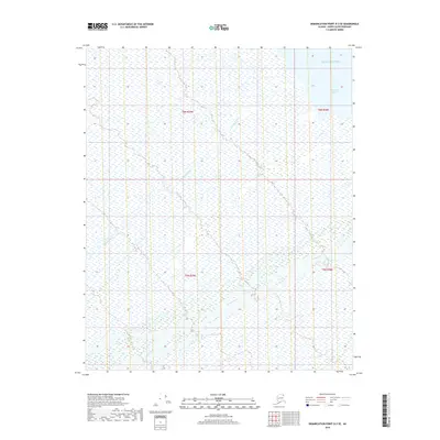
2018 · Demarcation Point D-3 SE
USGS Topo · 1:25,000
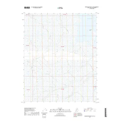
2018 · Demarcation Point D-3 NW
USGS Topo · 1:25,000