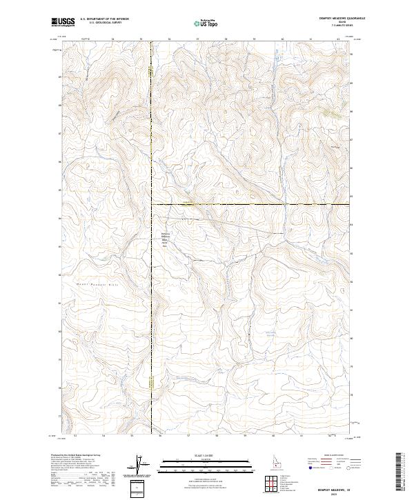
2023 Map of Dempsey Meadows
USGS Topo · Published 2023About this map
Mount Bennett Hills dominate this high-altitude landscape where the borders of Elmore, Camas, and Gooding counties meet. The area is defined by a series of north-south drainages including West Dempsey Creek, East Dempsey Creek, and Clover Creek that carve through the upland terrain. These seasonal waterways create distinct topographical features like Dempsey Meadows and the uniquely named Dead Horse Flat, which likely served as important grazing or transit points in the high desert.
Find a feature on this map
23 named features on this map. Tap any name to fly to it.
Don’t see what you’re looking for? This feature index may not catch every label — zoom into the map to look around manually.
Map Details
Editions of this 2023 Dempsey Meadows Map
This is the sole edition of this map. No revisions or reprints were ever made.
Other maps of this area

1892 · Camas Prairie
USGS Topo · 1:125,000

1893 · Camas Prairie
USGS Topo · 1:125,000

1955 · Hailey
USGS Topo · 1:250,000

1957 · Fairfield
USGS Topo · 1:62,500

1957 · Davis Mountain
USGS Topo · 1:62,500

1958 · King Hill
USGS Topo · 1:62,500

1959 · Hailey
USGS Topo · 1:250,000

1962 · Hailey
USGS Topo · 1:250,000

1963 · High Prairie
USGS Topo · 1:24,000

1963 · Hill City
USGS Topo · 1:24,000