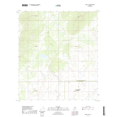
2017 Map of Denali C-6 NW
USGS Topo · Published 2017About this map
Denali National Preserve anchors the southeastern corner of this 2017 survey, where the administrative boundaries of the Denali Borough meet the Yukon-Koyukuk Census Area. The terrain is defined by a series of low-lying wetlands and complex water systems, most notably the meandering course of Fish Cr as it winds through the central and western sections of the quadrangle. Tucked into the western interior, Spirit Lake serves as a prominent landmark amidst the surrounding muskeg and small ponds. To the north, the elevation rises into the Snohomish Hills, providing a distinct topographical contrast to the saturated flats below. This map illustrates the intersection of federal protected lands and regional borough divisions in a landscape dominated by subarctic hydrology and undeveloped wilderness.
Find a feature on this map
11 named features on this map. Tap any name to fly to it.
Don’t see what you’re looking for? This feature index may not catch every label — zoom into the map to look around manually.
Map Details
Editions of this 2017 Denali C-6 NW Map
This is the sole edition of this map. No revisions or reprints were ever made.
Other maps of this area

1950 · Medfra
USGS Topo · 1:250,000

1952 · Mount McKinley
USGS Topo · 1:250,000

1958 · Medfra C-1
USGS Topo · 1:63,360

1958 · Medfra D-1
USGS Topo · 1:63,360

1958 · Mount McKinley D-6
USGS Topo · 1:63,360

1958 · Mount McKinley C-6
USGS Topo · 1:63,360

1958 · Mount McKinley
USGS Topo · 1:250,000

1959 · Medfra
USGS Topo · 1:250,000

1969 · Mount McKinley
USGS Topo · 1:250,000
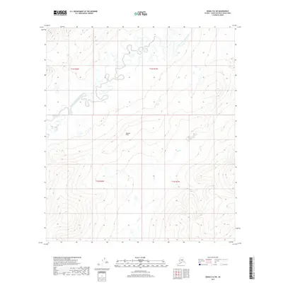
2017 · Denali D-6 SW
USGS Topo · 1:25,000