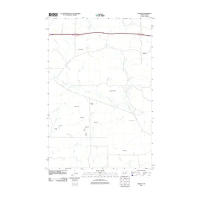
2011 Map of Dengate
USGS Topo · Published 2011About this map
The high plains of Morton County are defined by a series of prominent rises and drainage systems, as shown in this 2011 survey. Centered around the small settlement of Dengate, the landscape is carved by the meandering paths of Big Muddy Creek and Wilson Creek. The terrain is punctuated by significant landmarks that served as navigational points for generations, including Twin Buttes in the north and the cluster of Porcupine Hill, Cap Butte, and Flat Top Hill toward the south.
Find a feature on this map
33 named features on this map. Tap any name to fly to it.
Don’t see what you’re looking for? This feature index may not catch every label — zoom into the map to look around manually.
Map Details
Editions of this 2011 Dengate Map
This is the sole edition of this map. No revisions or reprints were ever made.
Other maps of this area

1938 · Heart Butte
USGS Topo · 1:48,000

1944 · Heart Butte
USGS Topo · 1:62,500

1954 · Bismarck
USGS Topo · 1:250,000

1958 · Bismarck
USGS Topo · 1:250,000

1960 · North Almont
USGS Topo · 1:24,000

1960 · Dengate
USGS Topo · 1:24,000

1960 · Glen Ullin
USGS Topo · 1:24,000

1960 · Heart Butte
USGS Topo · 1:24,000

1970 · Bluegrass
USGS Topo · 1:24,000

1970 · Hailstone Butte
USGS Topo · 1:24,000