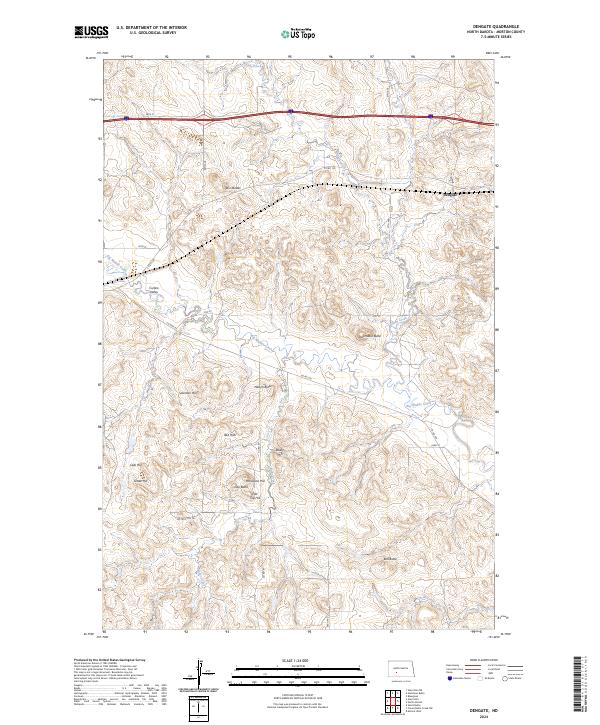
2024 Map of Dengate
USGS Topo · Published 2024About this map
The Dengate settlement area within Morton County is defined by a complex landscape of buttes and valleys where the high plains meet the drainage networks of central North Dakota. The topographic layout is dominated by significant elevation markers like Twin Buttes and Jackrabbit Butte, which rise above the expansive Curlew Valley. These features served as natural waypoints for early travelers and settlers navigating the distance between the local creeks and the more established rail corridors to the north.
Find a feature on this map
35 named features on this map. Tap any name to fly to it.
Don’t see what you’re looking for? This feature index may not catch every label — zoom into the map to look around manually.
Map Details
Editions of this 2024 Dengate Map
This is the sole edition of this map. No revisions or reprints were ever made.
Other maps of this area

1938 · Heart Butte
USGS Topo · 1:48,000

1944 · Heart Butte
USGS Topo · 1:62,500

1954 · Bismarck
USGS Topo · 1:250,000

1958 · Bismarck
USGS Topo · 1:250,000

1960 · North Almont
USGS Topo · 1:24,000

1960 · Dengate
USGS Topo · 1:24,000

1960 · Glen Ullin
USGS Topo · 1:24,000

1960 · Heart Butte
USGS Topo · 1:24,000

1970 · Bluegrass
USGS Topo · 1:24,000

1970 · Hailstone Butte
USGS Topo · 1:24,000