
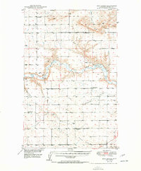
1950 Map of Dent Bridge
USGS Topo · Published 1950About this map
The Teton River carves a deep, winding canyon through the central Montana plains in this mid-century survey. This landscape was mapped as part of a Department of the Interior program for the development of the Missouri River Basin, capturing the area's rural transition in the years following World War II. The map reveals a sparse network of prairie institutions, including the Genou School, Shaw Sch, and the evocatively named Promised Land School No 2.
Find a feature on this map
23 named features on this map. Tap any name to fly to it.
Don’t see what you’re looking for? This feature index may not catch every label — zoom into the map to look around manually.
Map Details
Editions of this 1950 Dent Bridge Map
3 editions found
Other maps of this area

1886 · Great Falls
USGS Topo · 1:250,000

1890 · Fort Benton
USGS Topo · 1:250,000

1892 · Fort Benton
USGS Topo · 1:250,000

1897 · Fort Benton
USGS Topo · 1:250,000

1948 · Portage
USGS Topo · 1:62,500

1949 · Portage
USGS Topo · 1:62,500

1949 · Timber Coulee
USGS Topo · 1:62,500

1949 · Great Falls
USGS Topo · 1:62,500

1950 · Timber Coulee
USGS Topo · 1:62,500

1951 · Great Falls
USGS Topo · 1:62,500