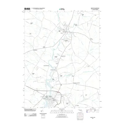
2011 Map of Denton
USGS Topo · Published 2011About this map
The Choptank River serves as the central artery for this portion of the Eastern Shore, winding through a landscape defined by historic river landings and established agricultural crossroads. In the southern reach, Denton stands as a focal point of activity, anchored by the Denton Bridge and the Denton Post Office, surrounded by residential pockets like West Denton, Pigg Point, and Riverview Gardens. To the north, the settlement of Greensboro is situated along the riverbanks, where the community's history is preserved in sites such as the Greensboro Cemetery and Maple Village.
Find a feature on this map
116 named features on this map. Tap any name to fly to it.
Don’t see what you’re looking for? This feature index may not catch every label — zoom into the map to look around manually.
Map Details
Editions of this 2011 Denton Map
This is the sole edition of this map. No revisions or reprints were ever made.
Other maps of this area

1899 · Dover
USGS Topo · 1:125,000

1905 · Denton
USGS Topo · 1:62,500

1905 · Barclay
USGS Topo · 1:62,500

1906 · Dover
USGS Topo · 1:125,000

1918 · Harrington
USGS Topo · 1:62,500

1920 · Dover
USGS Topo · 1:125,000

1926 · Wyoming
USGS Topo · 1:48,000

1930 · Wyoming
USGS Topo · 1:62,500

1931 · Wyoming
USGS Topo · 1:62,500

1944 · Denton
USGS Topo · 1:31,680