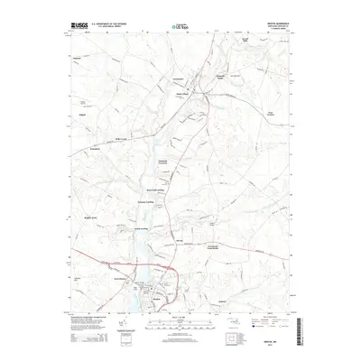
2014 Map of Denton
USGS Topo · Published 2014About this map
The Choptank River serves as the primary artery for this portion of the Eastern Shore, winding past historic river-focused settlements such as Greensboro and the county seat of Denton. The river's influence on local development is evident in the numerous landings that dot its banks, including Brick Wall Landing, Passapae Landing, and Smith Landing, marking locations once vital for waterborne commerce. Inland, the agricultural landscape is anchored by crossroads communities like Townsends Cross Roads and Holly Corner, while aviation facilities such as Ridgely Airpark and Spiering Airport illustrate modern connectivity. Genealogists will find several notable burial sites documented, ranging from the Old Saint Lukes Cem and Saint Elizabeths Cem in the south to the Greensboro Cem and Spring Grove Cem further north, providing a clear record of established local families.
Find a feature on this map
142 named features on this map. Tap any name to fly to it.
Don’t see what you’re looking for? This feature index may not catch every label — zoom into the map to look around manually.
Map Details
Editions of this 2014 Denton Map
This is the sole edition of this map. No revisions or reprints were ever made.
Other maps of this area

1899 · Dover
USGS Topo · 1:125,000

1905 · Denton
USGS Topo · 1:62,500

1905 · Barclay
USGS Topo · 1:62,500

1906 · Dover
USGS Topo · 1:125,000

1918 · Harrington
USGS Topo · 1:62,500

1920 · Dover
USGS Topo · 1:125,000

1926 · Wyoming
USGS Topo · 1:48,000

1930 · Wyoming
USGS Topo · 1:62,500

1931 · Wyoming
USGS Topo · 1:62,500

1944 · Denton
USGS Topo · 1:31,680