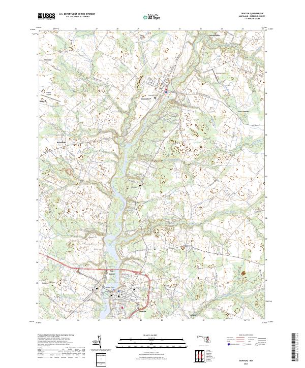
2023 Map of Denton
USGS Topo · Published 2023About this map
The Choptank River serves as the primary geographic corridor through this section of Caroline County, anchoring the historic riverfront development of Denton and West Denton. The river's influence on local transport and trade is marked by the Denton Ferry and the prominent Pigg Point, while the civic importance of the area is centered at the Caroline County Courthouse. Further north, Greensboro and Ridgely emerge as secondary hubs, with the landscape transitioning into a network of agricultural lands and wooded branches.
Find a feature on this map
137 named features on this map. Tap any name to fly to it.
Don’t see what you’re looking for? This feature index may not catch every label — zoom into the map to look around manually.
Map Details
Editions of this 2023 Denton Map
This is the sole edition of this map. No revisions or reprints were ever made.
Other maps of this area

1899 · Dover
USGS Topo · 1:125,000

1905 · Denton
USGS Topo · 1:62,500

1905 · Barclay
USGS Topo · 1:62,500

1906 · Dover
USGS Topo · 1:125,000

1918 · Harrington
USGS Topo · 1:62,500

1920 · Dover
USGS Topo · 1:125,000

1926 · Wyoming
USGS Topo · 1:48,000

1930 · Wyoming
USGS Topo · 1:62,500

1931 · Wyoming
USGS Topo · 1:62,500

1944 · Denton
USGS Topo · 1:31,680