
1905 Map of Denton
USGS Topo · Published 1905About this map
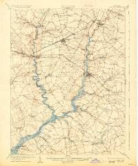
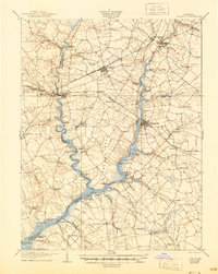
Tuckahoe Creek and the Choptank River define the agricultural and transit landscape of the Eastern Shore at the turn of the century. The map reveals an economy deeply tied to the water, tracing a primary Steamboat Route that connects numerous riverside landings and wharves, such as Wayman Wharf, Todd Wharf, and Ganey Wharf. Inland, the Delaware and Chesapeake R. R. and the Maryland and Delaware R. R. serve the growing rail hubs of Ridgely and Greensboro. Genealogists can locate specific landmarks including the Laurel Grove Church and smaller settlements like American Corners, Hobbs, and Andersontown. The survey clearly delineates the complex county boundaries of Queen Anne, Talbot, and Caroline counties as they follow the winding river channels and tidal branches.
Find a feature on this map
80 named features on this map. Tap any name to fly to it.
Don’t see what you’re looking for? This feature index may not catch every label — zoom into the map to look around manually.
Map Details
Editions of this 1905 Denton Map
3 editions found
Other maps of this area

1898 · Choptank
USGS Topo · 1:125,000

1898 · Tolchester
USGS Topo · 1:125,000

1899 · Dover
USGS Topo · 1:125,000

1901 · Chestertown
USGS Topo · 1:62,500

1903 · Tolchester
USGS Topo · 1:125,000

1904 · St. Michaels
USGS Topo · 1:62,500

1904 · Oxford
USGS Topo · 1:62,500

1905 · Barclay
USGS Topo · 1:62,500

1905 · Hurlock
USGS Topo · 1:62,500

1906 · Dover
USGS Topo · 1:125,000