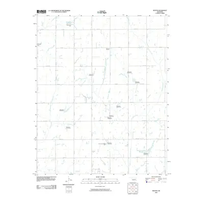
2009 Map of Denton
USGS Topo · Published 2009About this map
Woodlawn Cemetery stands as a quiet anchor in this Stephens County landscape, marking the generational presence of local families amidst a network of rural roads and water management systems. The map reveals an area defined by its drainages, including Cottonwood Creek in the north and the southward flow of Little Beaver Creek. Significant local infrastructure is evident in the numerous numbered reservoirs and dams, such as Oknoname 137061 Reservoir, which indicate a highly managed hydrological environment common in this part of Oklahoma.
Find a feature on this map
49 named features on this map. Tap any name to fly to it.
Don’t see what you’re looking for? This feature index may not catch every label — zoom into the map to look around manually.
Map Details
Editions of this 2009 Denton Map
This is the sole edition of this map. No revisions or reprints were ever made.
Other maps of this area

1902 · Rush Springs
USGS Topo · 1:125,000

1949 · Cement
USGS Topo · 1:62,500

1949 · Nellie
USGS Topo · 1:62,500

1949 · Rush Springs
USGS Topo · 1:62,500

1950 · Rush Springs
USGS Topo · 1:62,500

1950 · Marlow
USGS Topo · 1:62,500

1951 · Marlow
USGS Topo · 1:62,500

1955 · Lawton
USGS Topo · 1:250,000

1956 · Sterling
USGS Topo · 1:24,000

1956 · Fletcher
USGS Topo · 1:24,000