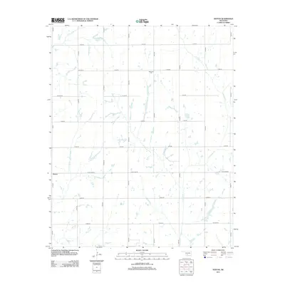
2013 Map of Denton
USGS Topo · Published 2013About this map
Denton and the surrounding rural Stephens County landscape are defined by a grid of section roads and a network of ephemeral creeks in this 2013 survey. The community is centered near the intersection of W Ballpark Rd and N 2730 Rd, serving as a local hub for the surrounding agricultural tracts. To the northeast, the Woodlawn Cem remains a significant landmark for genealogical research, situated along E1580 Rd. The hydrology of the area is dominated by the winding course of Little Beaver Cr, which snakes through the eastern half of the quadrangle. Smaller drainages like Cottonwood Cr, Armstrong Cr, and Hell Cr provide natural relief to the structured road system, while the Richard Cox Reservoir in the north serves as a localized water resource.
Find a feature on this map
27 named features on this map. Tap any name to fly to it.
Don’t see what you’re looking for? This feature index may not catch every label — zoom into the map to look around manually.
Map Details
Editions of this 2013 Denton Map
This is the sole edition of this map. No revisions or reprints were ever made.
Other maps of this area

1902 · Rush Springs
USGS Topo · 1:125,000

1949 · Cement
USGS Topo · 1:62,500

1949 · Nellie
USGS Topo · 1:62,500

1949 · Rush Springs
USGS Topo · 1:62,500

1950 · Rush Springs
USGS Topo · 1:62,500

1950 · Marlow
USGS Topo · 1:62,500

1951 · Marlow
USGS Topo · 1:62,500

1955 · Lawton
USGS Topo · 1:250,000

1956 · Sterling
USGS Topo · 1:24,000

1956 · Fletcher
USGS Topo · 1:24,000