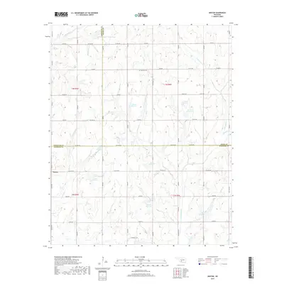
2018 Map of Denton
USGS Topo · Published 2018About this map
Denton sits at the intersection of several section-line roads where the boundaries of Comanche, Grady, and Stephens Counties meet. This rural Oklahoma landscape is characterized by a high concentration of small, numbered water catchments such as 137062 Reservoir and 137004 Reservoir, which support the local agricultural and ranching economy in the late 2010s. The terrain is drained by several meandering waterways, including Little Beaver Cr, Cottonwood Cr, and Armstrong Cr.
Find a feature on this map
65 named features on this map. Tap any name to fly to it.
Don’t see what you’re looking for? This feature index may not catch every label — zoom into the map to look around manually.
Map Details
Editions of this 2018 Denton Map
This is the sole edition of this map. No revisions or reprints were ever made.
Other maps of this area

1902 · Rush Springs
USGS Topo · 1:125,000

1949 · Cement
USGS Topo · 1:62,500

1949 · Nellie
USGS Topo · 1:62,500

1949 · Rush Springs
USGS Topo · 1:62,500

1950 · Rush Springs
USGS Topo · 1:62,500

1950 · Marlow
USGS Topo · 1:62,500

1951 · Marlow
USGS Topo · 1:62,500

1955 · Lawton
USGS Topo · 1:250,000

1956 · Sterling
USGS Topo · 1:24,000

1956 · Fletcher
USGS Topo · 1:24,000