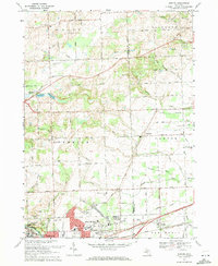
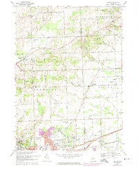
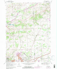
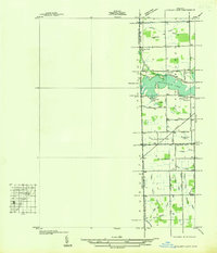
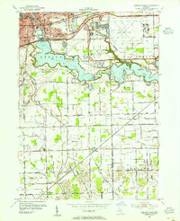
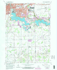
1969 Map of Denton
USGS Topo · Published 1971This historical map portrays the area of Denton in 1969, primarily covering Washtenaw County as well as portions of Wayne County. Featuring a scale of 1:24000, this map provides a highly detailed snapshot of the terrain, roads, buildings, counties, and historical landmarks in the Denton region at the time. Published in 1971, it is one of 4 known editions of this map due to revisions or reprints.
Find a feature on this map
86 named features on this map. Tap any name to fly to it.
Don’t see what you’re looking for? This feature index may not catch every label — zoom into the map to look around manually.
Map Details
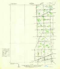
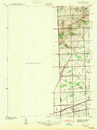
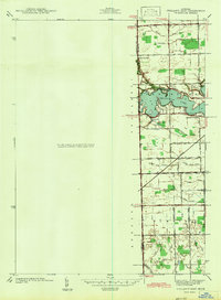
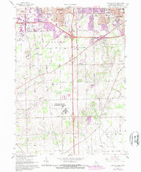
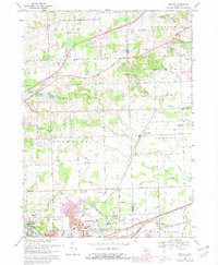
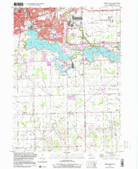
Editions of this 1969 Denton Map
4 editions found
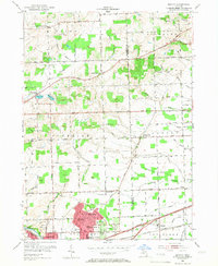
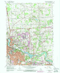
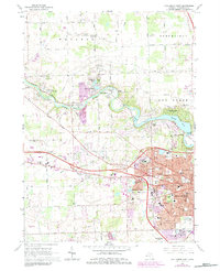
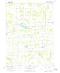
Historical Maps of Denton Through Time
13 maps found
1936 Denton
Washtenaw County, MI
1936 Ypsilanti East
Washtenaw County, MI
1942 Denton
Washtenaw County, MI
1942 Ypsilanti East
Washtenaw County, MI
1953 Denton
Washtenaw County, MI
1953 Ypsilanti East
Washtenaw County, MI
1965 Ann Arbor East
Washtenaw County, MI
1965 Ann Arbor West
Washtenaw County, MI
1967 Bridgewater
Washtenaw County, MI
1967 Ypsilanti East
Washtenaw County, MI
1967 Ypsilanti West
Washtenaw County, MI
1969 Denton
Washtenaw County, MI
1996 Ypsilanti East
Washtenaw County, MI
Featured Locations
- Canton Township, MI
- Van Buren Charter Township, MI
- Plymouth Charter Township, MI
- Ypsilanti, MI
- Ypsilanti Charter Township, MI