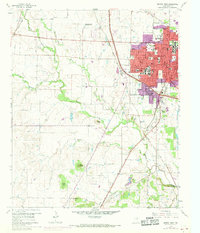
1960 Map of Denton West
USGS Topo · Published 1969About this map
Denton at the end of the 1950s is a center of higher education and regional transit, defined by the campuses of North Texas State College and Texas Womans University. The urban core shows a high density of institutional landmarks, including the Courthouse, City Hall, and several schools like Robert E Lee Sch. Rail infrastructure is prominent, with the Atchison Topeka and Santa Fe and the Texas and Pacific lines converging near the city center, illustrating the town's importance as a North Texas rail hub.
Find a feature on this map
50 named features on this map. Tap any name to fly to it.
Don’t see what you’re looking for? This feature index may not catch every label — zoom into the map to look around manually.
Map Details
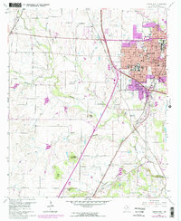
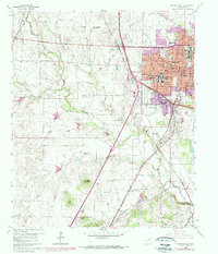
Editions of this 1960 Denton West Map
4 editions found
Other maps of this area

1954 · Sherman
USGS Topo · 1:250,000

1958 · Sherman
USGS Topo · 1:250,000

1959 · Ponder
USGS Topo · 1:24,000
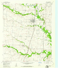
1960 · Justin
USGS Topo · 1:24,000

1960 · Sanger
USGS Topo · 1:24,000

1960 · Green Valley
USGS Topo · 1:24,000
1960 · Argyle
USGS Topo · 1:24,000
1960 · Lewisville West
USGS Topo · 1:24,000
1960 · Denton East
USGS Topo · 1:24,000
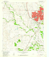
1960 · Denton West
USGS Topo · 1:24,000