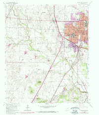
1960 Map of Denton West
USGS Topo · Published 1974About this map
North Texas State College and Texas Womans University anchor the growing city of Denton in the early 1960s, reflecting its role as an educational hub. This survey captures a period of significant transition, with residential expansion marked in purple revisions from 1968 and 1973. The landscape is defined by the convergence of major rail lines, including the Atchison Topeka and Santa Fe and the Texas and Pacific, which intersect near the historic downtown core. West of the city, the terrain opens into agricultural land and prominent rises like Pilot Knob and Bald Knob, while the Denton Airport and Texas A & M College Exper Sta No 6 signify the mix of aviation and research. To the south, the Guyer-Little Elm Reservoir and Denton Country Club represent the suburban and recreational development that followed the city's postwar growth.
Find a feature on this map
45 named features on this map. Tap any name to fly to it.
Don’t see what you’re looking for? This feature index may not catch every label — zoom into the map to look around manually.
Map Details
Editions of this 1960 Denton West Map
4 editions found
Other maps of this area

1954 · Sherman
USGS Topo · 1:250,000

1958 · Sherman
USGS Topo · 1:250,000

1959 · Ponder
USGS Topo · 1:24,000
1960 · Justin
USGS Topo · 1:24,000

1960 · Sanger
USGS Topo · 1:24,000

1960 · Green Valley
USGS Topo · 1:24,000
1960 · Argyle
USGS Topo · 1:24,000
1960 · Lewisville West
USGS Topo · 1:24,000
1960 · Denton East
USGS Topo · 1:24,000
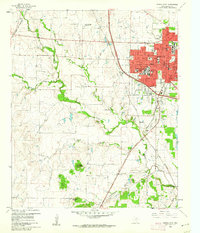
1960 · Denton West
USGS Topo · 1:24,000