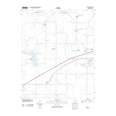
2009 Map of Depew
USGS Topo · Published 2009About this map
The town of Depew and the historic corridor of Old Hwy 66 anchor this survey of Creek County, Oklahoma. The landscape is defined by a dense network of water management features, primarily concentrated along the Little Deep Fork Creek and its various tributaries. Numerous flood control structures, such as Little Deep Fork Creek Site 7 Dam and Salt-Camp Creek Site 12 Dam, illustrate the 20th-century engineering efforts to stabilize the drainage basins of Camp Creek and Spring Creek.
Find a feature on this map
45 named features on this map. Tap any name to fly to it.
Don’t see what you’re looking for? This feature index may not catch every label — zoom into the map to look around manually.
Map Details
Editions of this 2009 Depew Map
This is the sole edition of this map. No revisions or reprints were ever made.
Other maps of this area

1901 · Nuyaka
USGS Topo · 1:125,000

1916 · Bristow
USGS Topo · 1:62,500

1929 · Stroud
USGS Topo · 1:62,500

1931 · Drumright
USGS Topo · 1:62,500

1932 · Stroud
USGS Topo · 1:62,500

1954 · Oklahoma City
USGS Topo · 1:250,000

1957 · Oklahoma City
USGS Topo · 1:250,000

1963 · Oklahoma City
USGS Topo · 1:250,000
1971 · Bellvue
USGS Topo · 1:24,000
1973 · Gypsy
USGS Topo · 1:24,000