
1926 Map of Deposit
USGS Topo · Published 1926About this map
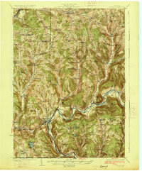
The West Branch Delaware River carves through the southern Tier of New York on this mid-1920s survey, anchoring a network of small dairy-country hamlets and rural school districts. The village of Deposit serves as a central hub where the Erie RR follows the river's bend, while the Delaware & Hudson RR cuts through the western valleys near McClure Settlement. This landscape is characterized by its remarkable density of neighborhood schoolhouses, including the uniquely named Slow and Easy School near Hambletville and the Melondy Hill School to the north.
Find a feature on this map
88 named features on this map. Tap any name to fly to it.
Don’t see what you’re looking for? This feature index may not catch every label — zoom into the map to look around manually.
Map Details
Editions of this 1926 Deposit Map
4 editions found
Other maps of this area

1902 · Coventry
USGS Topo · 1:62,500

1904 · Oxford
USGS Topo · 1:62,500

1905 · Nineveh
USGS Topo · 1:62,500

1915 · Oneonta
USGS Topo · 1:62,500

1915 · Unadilla
USGS Topo · 1:62,500

1918 · Unadilla
USGS Topo · 1:62,500

1918 · Oneonta
USGS Topo · 1:62,500

1920 · Long Eddy
USGS Topo · 1:62,500

1921 · Long Eddy
USGS Topo · 1:48,000

1923 · Long Eddy
USGS Topo · 1:62,500