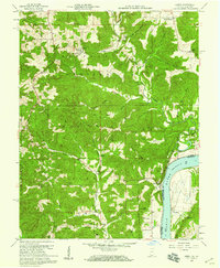
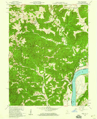
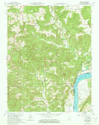
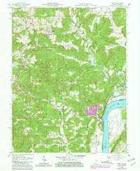
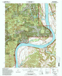
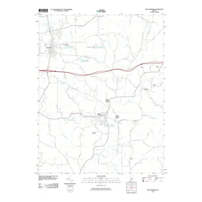
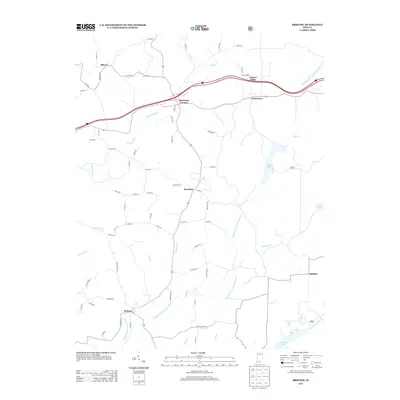
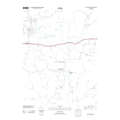
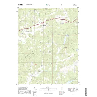
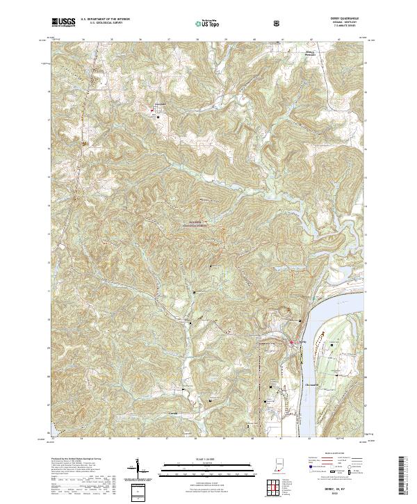
1958 Map of Derby
USGS Topo · Published 1959About this map
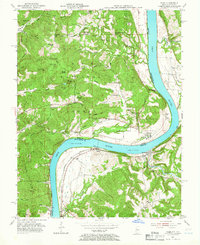
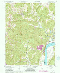
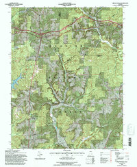
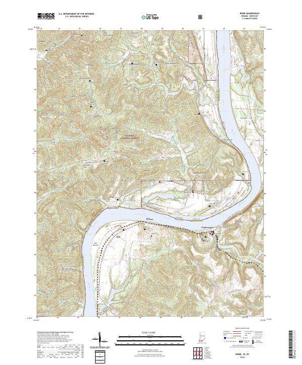
The Ohio River defines the southeastern edge of this late 1950s survey, marking the border between Indiana and Kentucky. The town of Derby sits near the river's edge, overlooked by Quarry Knob and a prominent Quarry. To the north and west, the landscape is heavily influenced by the Hoosier National Forest, where steep ridges like French Ridge and Mogan Ridge divide narrow valleys. This area is notably dense with family-named cemeteries and rural institutions, including St Augustinus Ch in the settlement of Leopold. Across the river in Kentucky, the community of Chenaultt is visible alongside its local Chenaultt Sch. The settlement pattern reflects a deeply rooted rural society, with numerous small burial grounds such as Upper Cummings Cem, Lower Cummings Cem, and Gilland Cem scattered throughout the townships of Tobin, Union, and Leopold.
Find a feature on this map
48 named features on this map. Tap any name to fly to it.
Don’t see what you’re looking for? This feature index may not catch every label — zoom into the map to look around manually.
Map Details
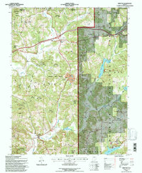
Editions of this 1958 Derby Map
5 editions found
Historical Maps of Leopold Through Time
43 maps found
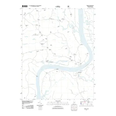
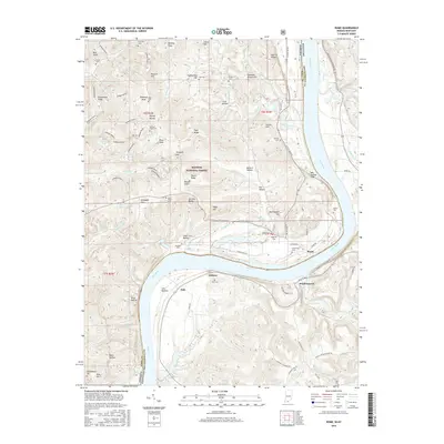
1953 Rome
Perry County, IN
1954 Derby
Perry County, IN
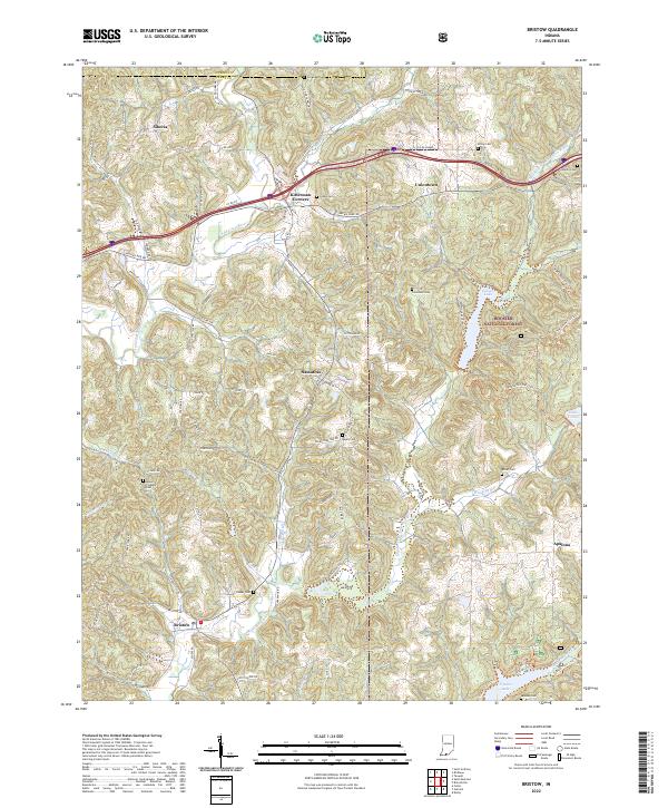
1957 Bristow
Perry County, IN
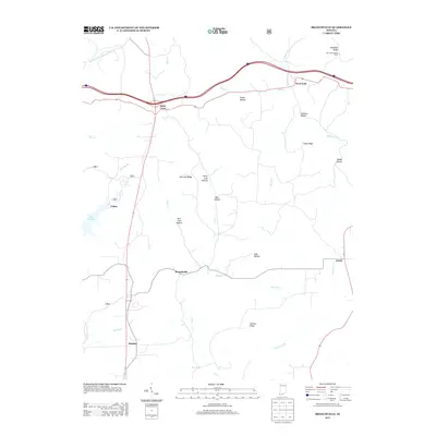
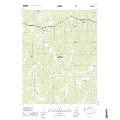
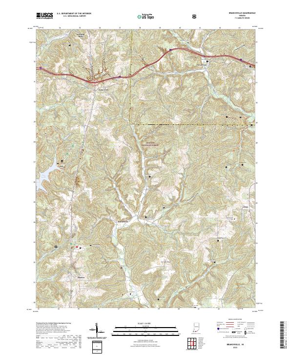
1958 Branchville
Perry County, IN
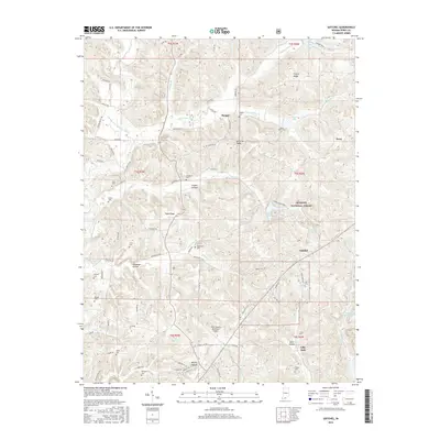
1958 Derby
Perry County, IN
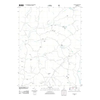
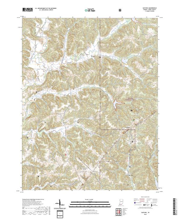
1958 Gatchel
Perry County, IN
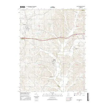
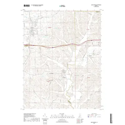
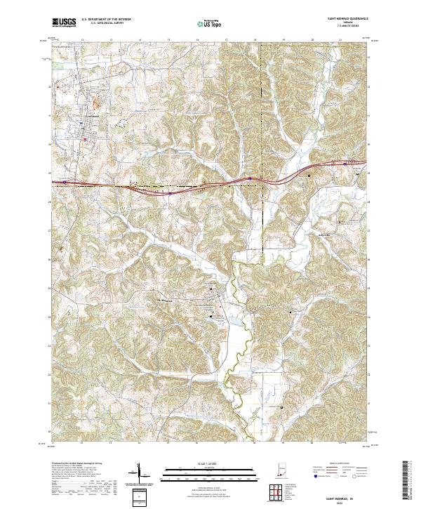
1960 Saint Meinrad
Perry County, IN
1970 Rome
Perry County, IN
1993 Branchville
Perry County, IN
1993 Bristow
Perry County, IN
1993 Derby
Perry County, IN
1993 Gatchel
Perry County, IN
1993 Rome
Perry County, IN
2010 Branchville
Perry County, IN
2010 Bristow
Perry County, IN
2010 Derby
Perry County, IN
2010 Gatchel
Perry County, IN
2010 Saint Meinrad
Perry County, IN
2011 Rome
Perry County, IN
2013 Branchville
Perry County, IN
2013 Bristow
Perry County, IN
2013 Derby
Perry County, IN
2013 Gatchel
Perry County, IN
2013 Rome
Perry County, IN
2013 Saint Meinrad
Perry County, IN
2016 Branchville
Perry County, IN
2016 Bristow
Perry County, IN
2016 Derby
Perry County, IN
2016 Gatchel
Perry County, IN
2016 Rome
Perry County, IN
2016 Saint Meinrad
Perry County, IN
2019 Branchville
Perry County, IN
2019 Bristow
Perry County, IN
2019 Derby
Perry County, IN
2019 Gatchel
Perry County, IN
2019 Rome
Perry County, IN
2019 Saint Meinrad
Perry County, IN
2022 Branchville
Perry County, IN
2022 Bristow
Perry County, IN
2022 Derby
Perry County, IN
2022 Gatchel
Perry County, IN
2022 Rome
Perry County, IN
2022 Saint Meinrad
Perry County, IN