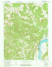
1958 Map of Derby
USGS Topo · Published 1972About this map
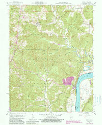
The Ohio River defines the southeastern border of this mid-century landscape, where the steep bluffs of the Hoosier National Forest meet the river valley at the Indiana-Kentucky line. Small upland settlements like Leopold and Mount Pleasant are characterized by a network of ridges and deep hollows, such as French Ridge and Sugar Camp Hollow. This area, surveyed in the late 1950s, reveals a rural economy tied to the land, evidenced by the Quarry near Derby and scattered family-named cemeteries like Talley Cem and Harding Cem.
Find a feature on this map
53 named features on this map. Tap any name to fly to it.
Don’t see what you’re looking for? This feature index may not catch every label — zoom into the map to look around manually.
Map Details
Editions of this 1958 Derby Map
5 editions found
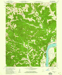
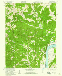
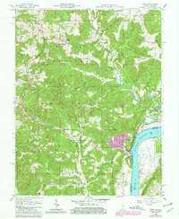
Other maps of this area

1928 · Hardinsburg
USGS Topo · 1:48,000

1931 · Hardinsburg
USGS Topo · 1:62,500

1934 · Cannelton
USGS Topo · 1:62,500

1947 · Lodiburg
USGS Topo · 1:24,000

1947 · Hardinsburg
USGS Topo · 1:62,500

1949 · Cannelton
USGS Topo · 1:24,000

1950 · Beechwood
USGS Topo · 1:24,000

1950 · Alton
USGS Topo · 1:62,500

1950 · Alton
USGS Topo · 1:24,000

1951 · Alton
USGS Topo · 1:24,000