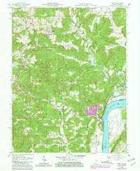
1958 Map of Derby
USGS Topo · Published 1981About this map
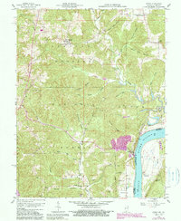
The Ohio River carves a sharp border between Indiana and Kentucky on this mid-century survey, defining the industrial and social character of the region. On the Indiana side, the Hoosier National Forest dominates the landscape, where ridges like Mogan Ridge and Kuntz Ridge are separated by deep hollows. The settlement of Leopold sits near the northern boundary, anchored by St Augustinus Ch, while the town of Derby rests directly along the riverbank near a large Quarry. Family history is deeply etched into the land through numerous burial sites, including the Upper Cummings Cem, Lower Cummings Cem, and Badger Cem. Across the water in Kentucky, the small community of Chenaultt and its associated Chenaultt Sch illustrate the rural riverfront life of the 1950s before significant modern development.
Find a feature on this map
49 named features on this map. Tap any name to fly to it.
Don’t see what you’re looking for? This feature index may not catch every label — zoom into the map to look around manually.
Map Details
Editions of this 1958 Derby Map
5 editions found
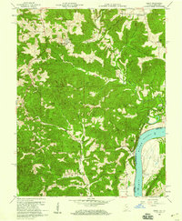
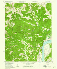
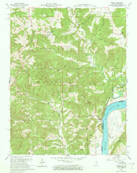
Other maps of this area

1928 · Hardinsburg
USGS Topo · 1:48,000

1931 · Hardinsburg
USGS Topo · 1:62,500

1934 · Cannelton
USGS Topo · 1:62,500

1947 · Lodiburg
USGS Topo · 1:24,000

1947 · Hardinsburg
USGS Topo · 1:62,500

1949 · Cannelton
USGS Topo · 1:24,000

1950 · Beechwood
USGS Topo · 1:24,000

1950 · Alton
USGS Topo · 1:62,500

1950 · Alton
USGS Topo · 1:24,000

1951 · Alton
USGS Topo · 1:24,000