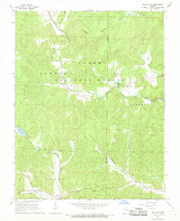
1968 Map of Des Arc NE
USGS Topo · Published 1969About this map
Clark National Forest encompasses much of this interior landscape, which was meticulously field-checked in the late 1960s. The topography is defined by the high point of Patterson Mountain and a complex drainage system including Marble Creek, Patterson Creek, and Leatherwood Creek. The map documents a scattered rural population through a network of small churches and family burial grounds, such as the Black Mountain Cem and Shoemaker Cem.
Find a feature on this map
32 named features on this map. Tap any name to fly to it.
Don’t see what you’re looking for? This feature index may not catch every label — zoom into the map to look around manually.
Map Details
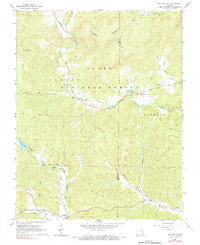
Editions of this 1968 Des Arc NE Map
2 editions found
Other maps of this area

1926 · Des Arc
USGS Topo · 1:62,500

1929 · Des Arc
USGS Topo · 1:62,500

1930 · Coldwater
USGS Topo · 1:62,500

1937 · Ironton
USGS Topo · 1:48,000

1939 · Fredericktown
USGS Topo · 1:48,000

1945 · Ironton
USGS Topo · 1:62,500

1946 · Ironton
USGS Topo · 1:62,500

1947 · Fredericktown
USGS Topo · 1:62,500

1949 · Rolla
USGS Topo · 1:250,000

1949 · Coldwater
USGS Topo · 1:62,500