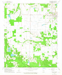
1964 Map of Des Arc West
USGS Topo · Published 1965About this map
Des Arc and its surrounding wetlands are the focus of this 1964 survey, which reveals a landscape defined by its proximity to the White River. The area is marked by an extensive network of waterways, including Wattensaw Bayou, Big Creek, and Whippoorwill Creek, illustrating the drainage patterns of the Arkansas Delta before significant modern alteration. Local history is grounded in small hubs like Fourmile Corner and Childers, while the northern portion of the map shows an Old Railroad Grade north of town, indicating a shift in transportation away from rail by the mid-1960s.
Find a feature on this map
32 named features on this map. Tap any name to fly to it.
Don’t see what you’re looking for? This feature index may not catch every label — zoom into the map to look around manually.
Map Details
Editions of this 1964 Des Arc West Map
2 editions found
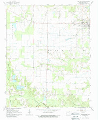
Other maps of this area

1932 · Kensett
USGS Topo · 1:62,500

1935 · Kensett
USGS Topo · 1:62,500

1935 · Hazen
USGS Topo · 1:62,500

1935 · Gregory
USGS Topo · 1:62,500

1941 · Hazen
USGS Topo · 1:62,500

1941 · De Valls Bluff
USGS Topo · 1:62,500

1948 · Helena
USGS Topo · 1:250,000

1950 · Helena
USGS Topo · 1:250,000

1953 · Memphis
USGS Topo · 1:250,000

1955 · Helena
USGS Topo · 1:250,000