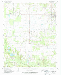
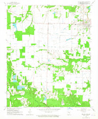
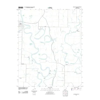
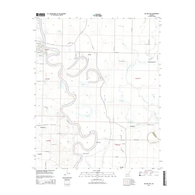
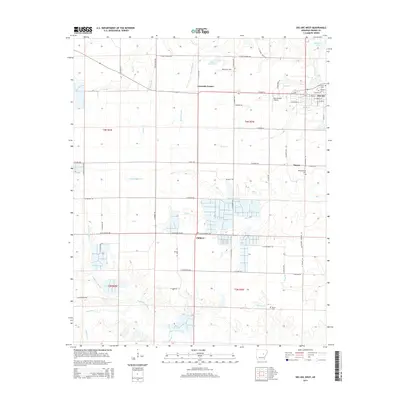
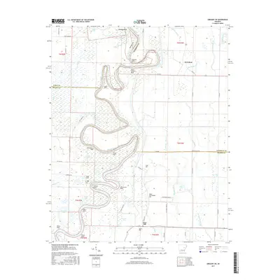
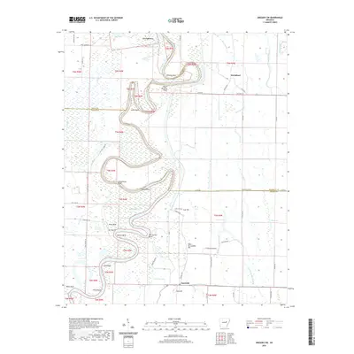
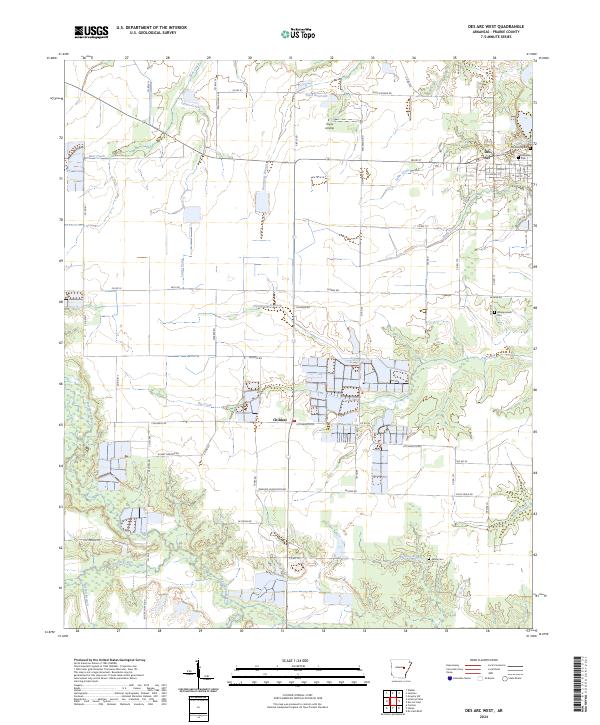
1964 Map of Des Arc West
USGS Topo · Published 1988About this map
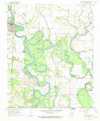
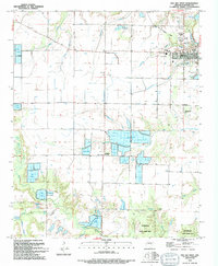
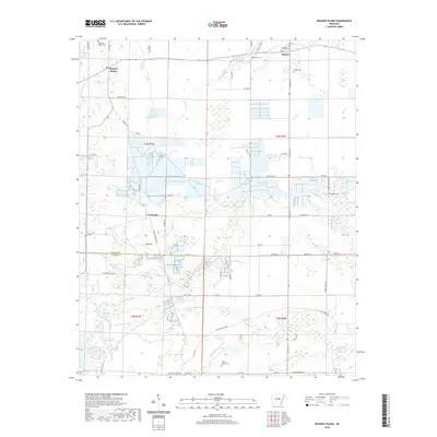
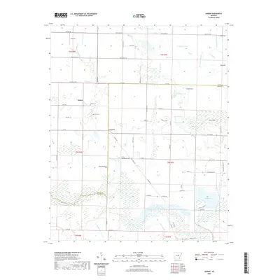
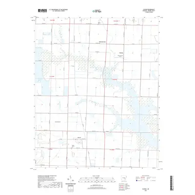
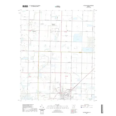
Des Arc and its surrounding floodplains are captured here in the mid-1960s, a landscape defined by the winding course of the White River and an extensive network of creeks and bayous. The transition from the river bottomlands to the agricultural uplands is marked by scattered small settlements like Fourmile Corner and Childers. For local historians, the presence of an Old Railroad Grade north of town and multiple fish hatcheries suggests the era's regional economic drivers and changing transport infrastructure.
Find a feature on this map
29 named features on this map. Tap any name to fly to it.
Don’t see what you’re looking for? This feature index may not catch every label — zoom into the map to look around manually.
Map Details
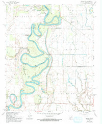
Editions of this 1964 Des Arc West Map
2 editions found
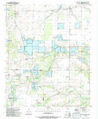
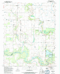
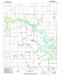
Historical Maps of Des Arc Through Time
46 maps found
1964 Des Arc West
Prairie County, AR
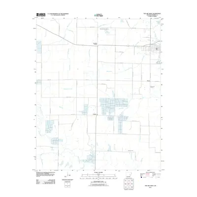
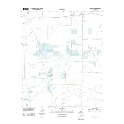
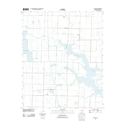
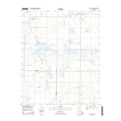
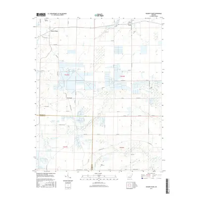
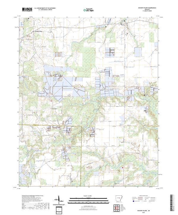
1964 Hickory Plains
Prairie County, AR
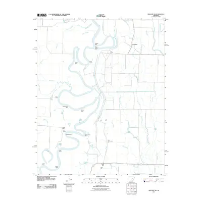
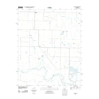
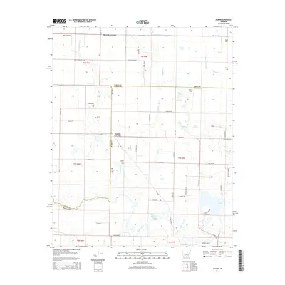
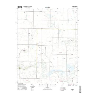
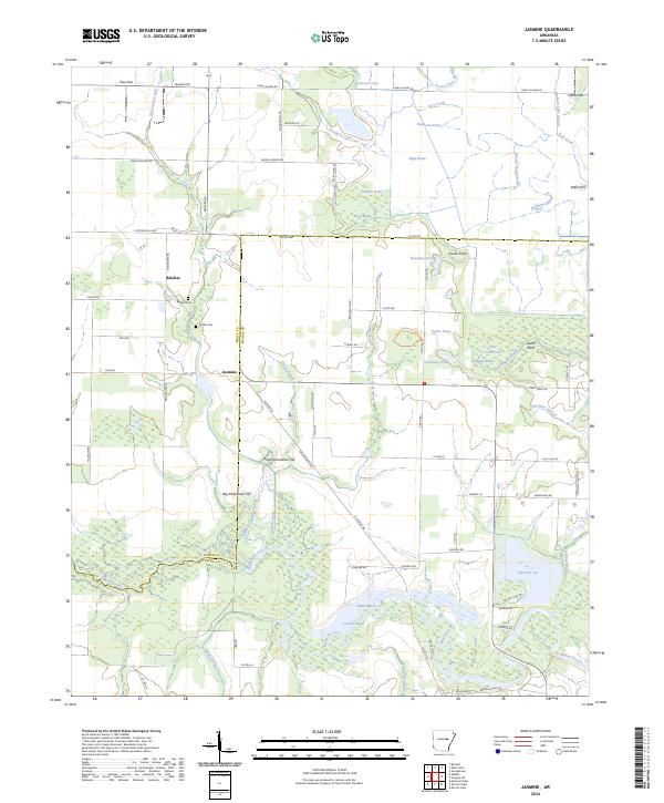
1964 Jasmine
Prairie County, AR
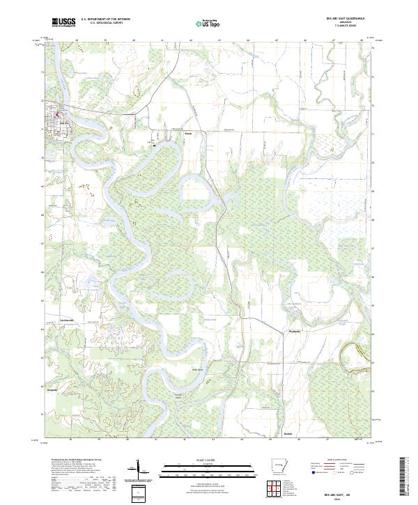
1968 Des Arc East
Prairie County, AR
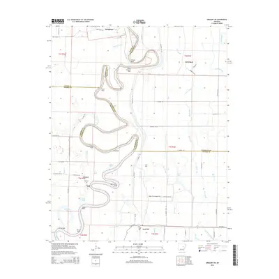
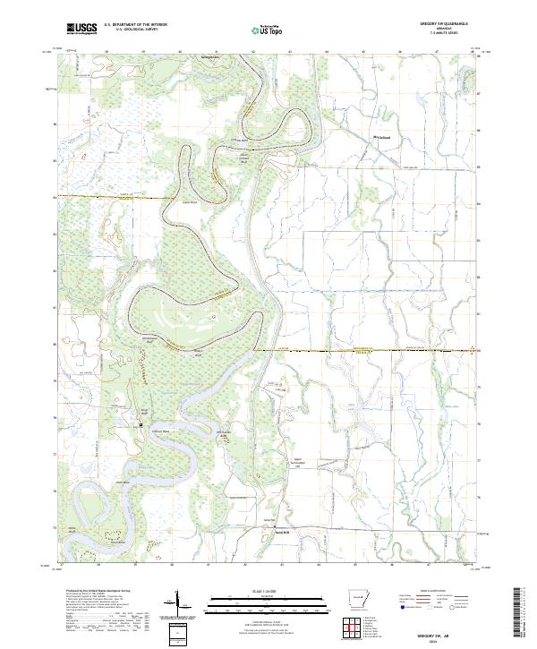
1968 Gregory SW
Prairie County, AR
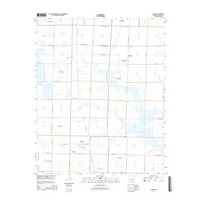
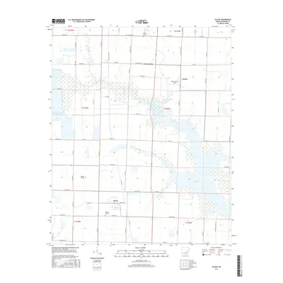
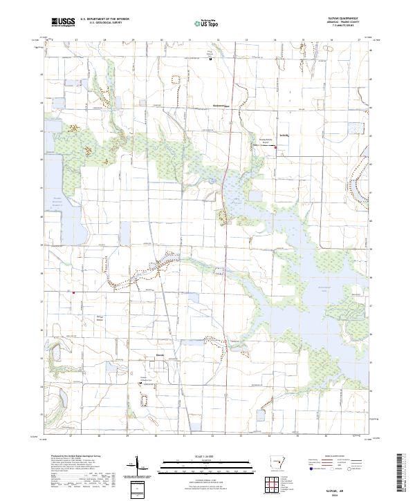
1969 Slovak
Prairie County, AR
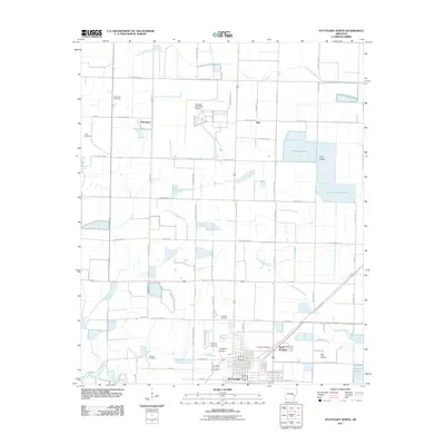
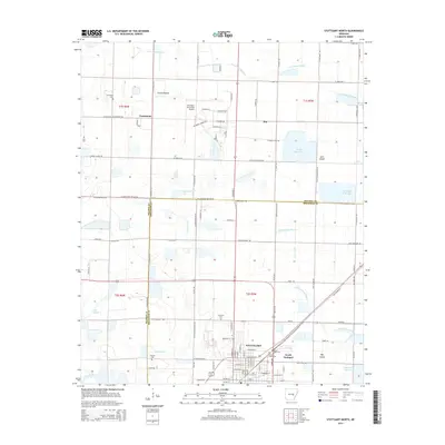
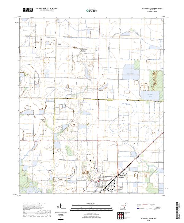
1969 Stuttgart North
Prairie County, AR
1994 Des Arc West
Prairie County, AR
1994 Hickory Plains
Prairie County, AR
1994 Jasmine
Prairie County, AR
1994 Slovak
Prairie County, AR
2011 Des Arc East
Prairie County, AR
2011 Des Arc West
Prairie County, AR
2011 Gregory SW
Prairie County, AR
2011 Hickory Plains
Prairie County, AR
2011 Jasmine
Prairie County, AR
2011 Slovak
Prairie County, AR
2011 Stuttgart North
Prairie County, AR
2014 Des Arc East
Prairie County, AR
2014 Des Arc West
Prairie County, AR
2014 Gregory SW
Prairie County, AR
2014 Hickory Plains
Prairie County, AR
2014 Jasmine
Prairie County, AR
2014 Slovak
Prairie County, AR
2014 Stuttgart North
Prairie County, AR
2017 Des Arc East
Prairie County, AR
2017 Des Arc West
Prairie County, AR
2017 Gregory SW
Prairie County, AR
2017 Hickory Plains
Prairie County, AR
2017 Jasmine
Prairie County, AR
2017 Slovak
Prairie County, AR
2017 Stuttgart North
Prairie County, AR
2020 Des Arc East
Prairie County, AR
2020 Des Arc West
Prairie County, AR
2020 Gregory SW
Prairie County, AR
2020 Hickory Plains
Prairie County, AR
2020 Jasmine
Prairie County, AR
2020 Slovak
Prairie County, AR
2020 Stuttgart North
Prairie County, AR
2024 Des Arc East
Prairie County, AR
2024 Des Arc West
Prairie County, AR
2024 Gregory SW
Prairie County, AR
2024 Hickory Plains
Prairie County, AR
2024 Jasmine
Prairie County, AR
2024 Slovak
Prairie County, AR
2024 Stuttgart North
Prairie County, AR