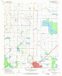
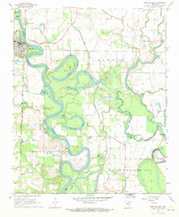
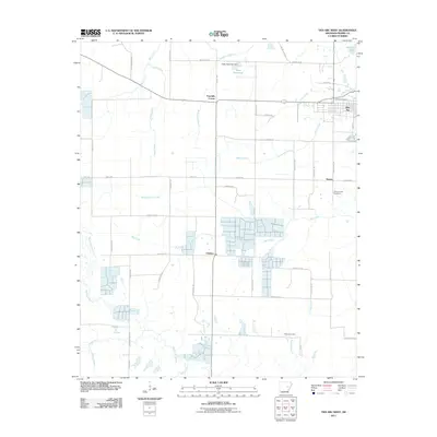
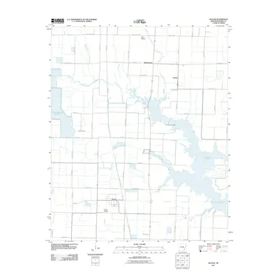
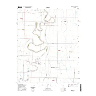
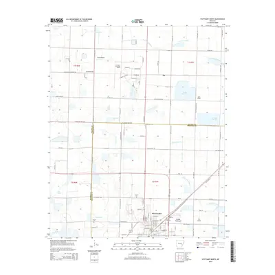
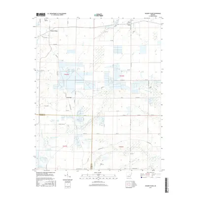
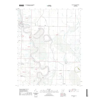
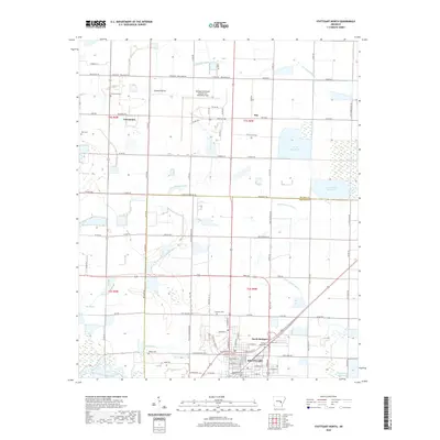
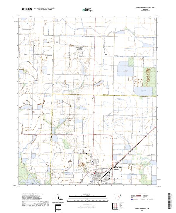
1969 Map of Stuttgart North
USGS Topo · Published 1971About this map
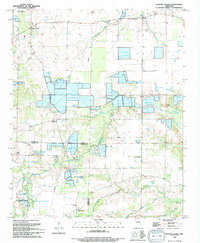
The northern reaches of Stuttgart dominate this late 1960s survey, revealing a landscape defined by the intersection of aviation, industry, and the natural waterways of the Grand Prairie. Both the Stuttgart Municipal Airport and the smaller Dockery Airfield underscore the region's importance to agriculture and commerce during this era. The terrain is crisscrossed by a network of drainage flumes and irrigation features, including several large reservoirs and fish ponds, which support the intensive cultivation typical of the Arkansas delta.
Find a feature on this map
33 named features on this map. Tap any name to fly to it.
Don’t see what you’re looking for? This feature index may not catch every label — zoom into the map to look around manually.
Map Details
Editions of this 1969 Stuttgart North Map
This is the sole edition of this map. No revisions or reprints were ever made.
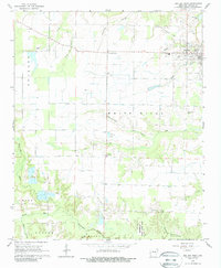
Historical Maps of Stuttgart Through Time
46 maps found
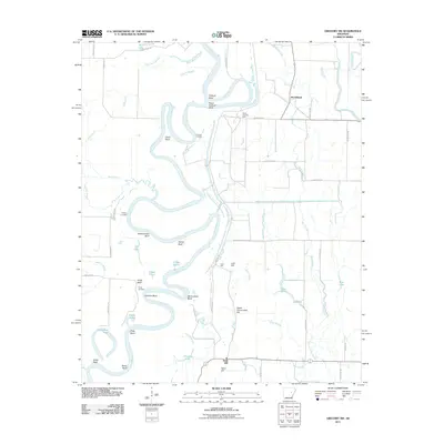
1964 Des Arc West
Prairie County, AR
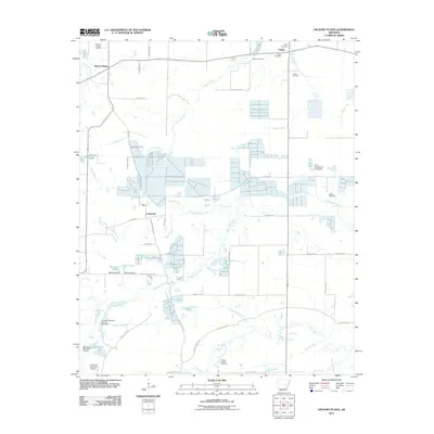
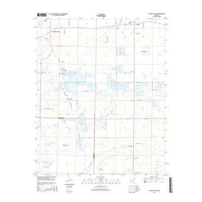
1964 Hickory Plains
Prairie County, AR
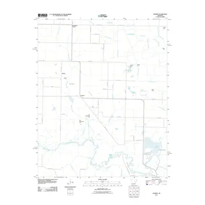
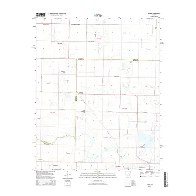
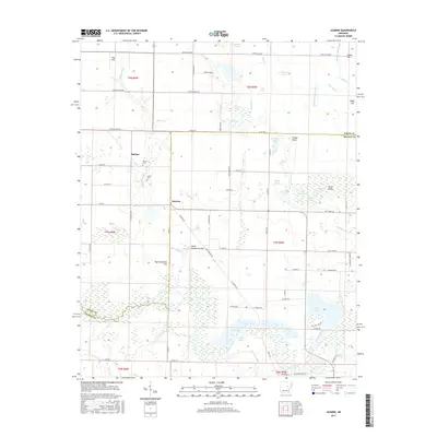
1964 Jasmine
Prairie County, AR
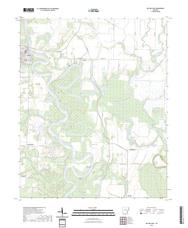
1968 Des Arc East
Prairie County, AR
1968 Gregory SW
Prairie County, AR
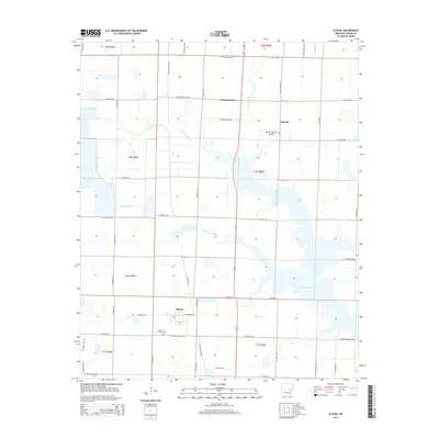
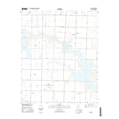
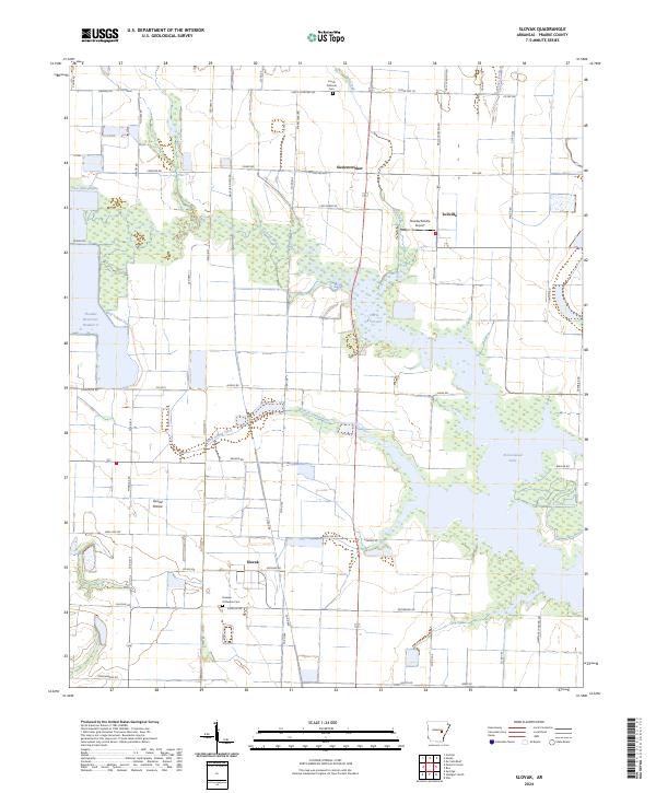
1969 Slovak
Prairie County, AR
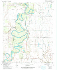
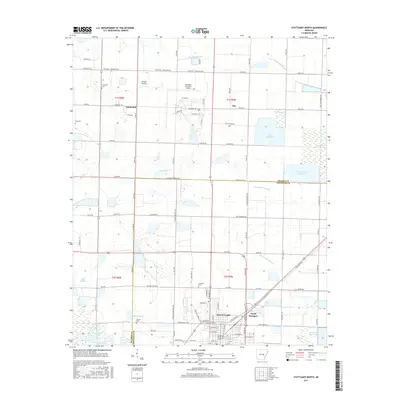
1969 Stuttgart North
Prairie County, AR
1994 Des Arc West
Prairie County, AR
1994 Hickory Plains
Prairie County, AR
1994 Jasmine
Prairie County, AR
1994 Slovak
Prairie County, AR
2011 Des Arc East
Prairie County, AR
2011 Des Arc West
Prairie County, AR
2011 Gregory SW
Prairie County, AR
2011 Hickory Plains
Prairie County, AR
2011 Jasmine
Prairie County, AR
2011 Slovak
Prairie County, AR
2011 Stuttgart North
Prairie County, AR
2014 Des Arc East
Prairie County, AR
2014 Des Arc West
Prairie County, AR
2014 Gregory SW
Prairie County, AR
2014 Hickory Plains
Prairie County, AR
2014 Jasmine
Prairie County, AR
2014 Slovak
Prairie County, AR
2014 Stuttgart North
Prairie County, AR
2017 Des Arc East
Prairie County, AR
2017 Des Arc West
Prairie County, AR
2017 Gregory SW
Prairie County, AR
2017 Hickory Plains
Prairie County, AR
2017 Jasmine
Prairie County, AR
2017 Slovak
Prairie County, AR
2017 Stuttgart North
Prairie County, AR
2020 Des Arc East
Prairie County, AR
2020 Des Arc West
Prairie County, AR
2020 Gregory SW
Prairie County, AR
2020 Hickory Plains
Prairie County, AR
2020 Jasmine
Prairie County, AR
2020 Slovak
Prairie County, AR
2020 Stuttgart North
Prairie County, AR
2024 Des Arc East
Prairie County, AR
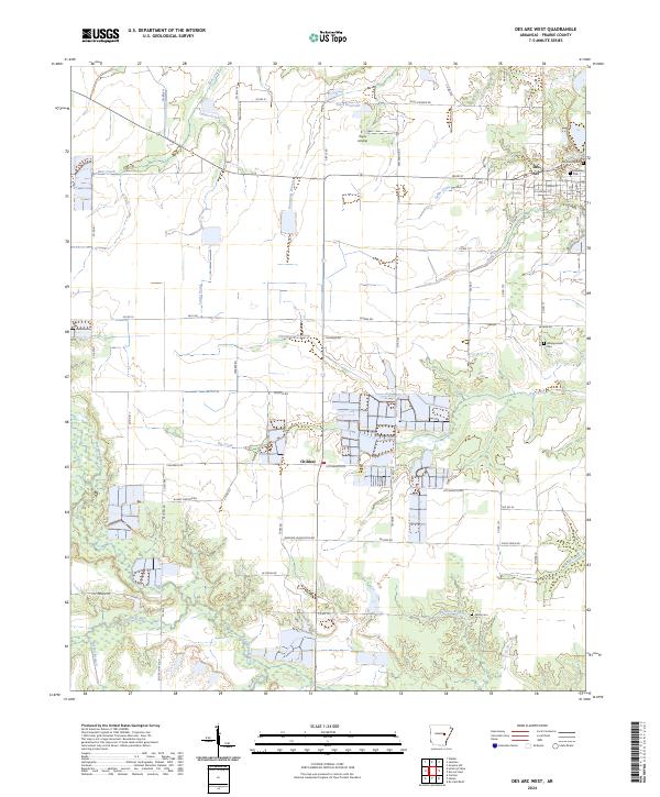
2024 Des Arc West
Prairie County, AR
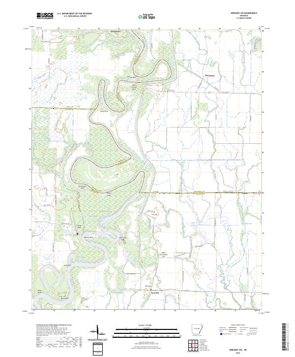
2024 Gregory SW
Prairie County, AR
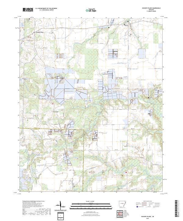
2024 Hickory Plains
Prairie County, AR
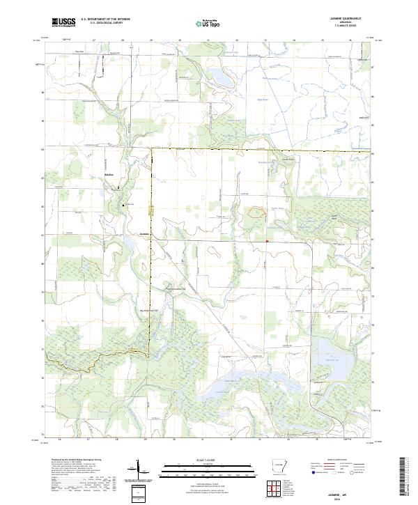
2024 Jasmine
Prairie County, AR
2024 Slovak
Prairie County, AR
2024 Stuttgart North
Prairie County, AR