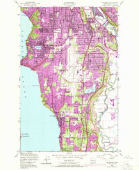
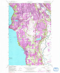
1949 Map of Des Moines
USGS Topo · Published 1969About this map
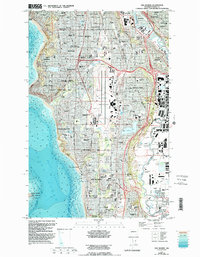
The growing shoreline of Puget Sound defines this post-war landscape, where the 1949 survey and 1968 revisions document the rapid suburbanization between Seattle and Kent. At the center of this transition sits the Seattle Tacoma Airport, which separates the coastal residential expansion in Normandy Park and Des Moines from the river-valley industries along the Duwamish River and Green River.
Find a feature on this map
52 named features on this map. Tap any name to fly to it.
Don’t see what you’re looking for? This feature index may not catch every label — zoom into the map to look around manually.
Map Details
Editions of this 1949 Des Moines Map
6 editions found
Other maps of this area

1894 · Seattle
USGS Topo · 1:62,500

1895 · Snohomish
USGS Topo · 1:125,000

1897 · Tacoma
USGS Topo · 1:125,000

1897 · Seattle
USGS Topo · 1:125,000

1900 · Tacoma
USGS Topo · 1:125,000

1908 · Seattle
USGS Topo · 1:62,500

1909 · Seattle Special
USGS Topo · 1:62,500

1949 · Tacoma North
USGS Topo · 1:24,000

1949 · Poverty Bay
USGS Topo · 1:24,000

1949 · Renton
USGS Topo · 1:24,000