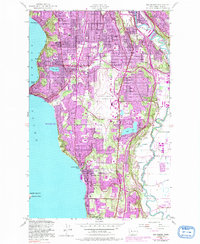
1949 Map of Des Moines
USGS Topo · Published 1991About this map
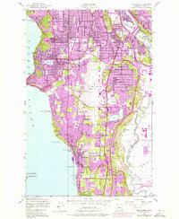
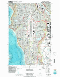
The Seattle Tacoma International Airport dominates the central landscape of this coastal King County corridor, situated between the urban expansion of Seattle and the waters of Puget Sound. The map illustrates the post-war transition of small shoreline settlements like Seahurst, Seola Beach, and Zenith into a more contiguous suburban fabric, highlighted by purple revision tints indicating mid-century growth. Along the eastern edge, the industrial and transport corridor follows the Duwamish River and Green River valleys, where the Burlington Northern railroad serves towns like Tukwila and Allentown. Local history is deeply etched into the terrain through numerous community landmarks, including Riverton Crest Cem, Washington Memorial Cem, and institutional anchors such as Highline High Sch. The coastal bluff topography drops sharply toward the sound, preserved at Salt Water State Park and Covenant Beach Camp.
Find a feature on this map
45 named features on this map. Tap any name to fly to it.
Don’t see what you’re looking for? This feature index may not catch every label — zoom into the map to look around manually.
Map Details
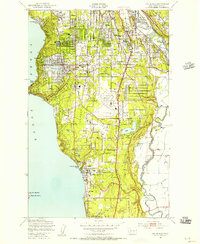
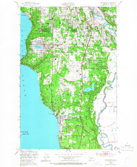
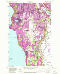
Editions of this 1949 Des Moines Map
6 editions found
Other maps of this area

1894 · Seattle
USGS Topo · 1:62,500

1895 · Snohomish
USGS Topo · 1:125,000

1897 · Tacoma
USGS Topo · 1:125,000

1897 · Seattle
USGS Topo · 1:125,000

1900 · Tacoma
USGS Topo · 1:125,000

1908 · Seattle
USGS Topo · 1:62,500

1909 · Seattle Special
USGS Topo · 1:62,500

1949 · Tacoma North
USGS Topo · 1:24,000

1949 · Poverty Bay
USGS Topo · 1:24,000

1949 · Renton
USGS Topo · 1:24,000