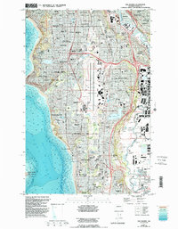
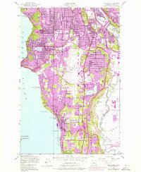
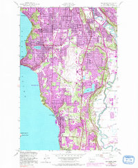
1949 Map of Des Moines
USGS Topo · Published 1995About this map
Seattle-Tacoma International Airport sits at the heart of this mid-century survey, surrounded by the rapidly developing suburban landscape of south King County. The map details a transition from the saltwater shores of Puget Sound to the industrial and residential corridors of Tukwila and Kent. Established community centers like Burien and Des Moines are shown with their networks of local schools and churches, including St Bernadette Sch and Highline High Sch.
Find a feature on this map
110 named features on this map. Tap any name to fly to it.
Don’t see what you’re looking for? This feature index may not catch every label — zoom into the map to look around manually.
Map Details
Editions of this 1949 Des Moines Map
6 editions found
Other maps of this area

1894 · Seattle
USGS Topo · 1:62,500

1895 · Snohomish
USGS Topo · 1:125,000

1897 · Tacoma
USGS Topo · 1:125,000

1897 · Seattle
USGS Topo · 1:125,000

1900 · Tacoma
USGS Topo · 1:125,000

1908 · Seattle
USGS Topo · 1:62,500

1909 · Seattle Special
USGS Topo · 1:62,500

1949 · Tacoma North
USGS Topo · 1:24,000

1949 · Poverty Bay
USGS Topo · 1:24,000

1949 · Renton
USGS Topo · 1:24,000