
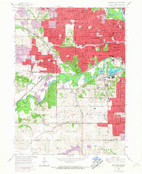
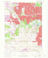
1956 Map of Des Moines SW
USGS Topo · Published 1958About this map
The confluence of the Raccoon River and the Des Moines River anchors this 1950s study of Iowa's capital city and its rapidly expanding western suburbs. The map captures a critical period of growth for West Des Moines, Windsor Heights, and Clive, where the grid of residential development meets established institutions like Drake University and Waveland Park. A distinct rail-centric industrial landscape is visible, defined by the heavy presence of the Chicago Rock Island and Pacific and the Chicago Great Western railroads. Beyond the urban core, the transition to rural Polk and Warren counties is marked by sites like the Plainview Sch (Abandoned) and Walnut Woods State Park. The southern portion of the sheet is dominated by the sprawling Des Moines Municipal Airport, emphasizing the city's role as a regional transportation hub during the mid-century era.
Find a feature on this map
90 named features on this map. Tap any name to fly to it.
Don’t see what you’re looking for? This feature index may not catch every label — zoom into the map to look around manually.
Map Details
Editions of this 1956 Des Moines SW Map
4 editions found
Other maps of this area

1905 · Des Moines
USGS Topo · 1:62,500

1907 · Des Moines
USGS Topo · 1:62,500

1908 · Waukee
USGS Topo · 1:62,500

1931 · Indianola
USGS Topo · 1:62,500

1951 · St. Charles
USGS Topo · 1:62,500

1954 · Des Moines
USGS Topo · 1:250,000

1956 · Des Moines
USGS Topo · 1:250,000

1956 · Des Moines NW
USGS Topo · 1:24,000

1956 · Des Moines SE
USGS Topo · 1:24,000

1956 · Des Moines NE
USGS Topo · 1:24,000