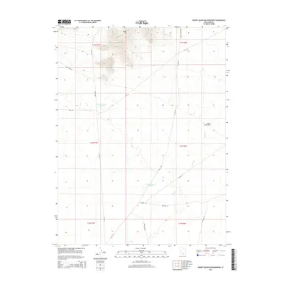
2014 Map of Desert Mountain Reservoir
USGS Topo · Published 2014About this map
Desert Mtn dominates the northern landscape of this Juab County quadrangle, rising above a network of desert tracks and water management features. The area's ranching and resource history is etched into the terrain through names like Melvins Mine Rd and Sweats Cow Rd, indicating the dual interests of mining and livestock in this arid environment. Central to the geography are the Desert Mountain Reservoir and the S Desert Mountain Reservoir, which serve as critical catchment points alongside the ephemeral Cherry Creek Wash. The map's grid is defined by the Golden Hwy, which bisects the region and provides access to local landmarks like Windmill Rd. The inclusion of Sand Dune Rd in the south highlights the specific sandy soil characteristics that define the eastern edges of the Sevier Desert.
Find a feature on this map
19 named features on this map. Tap any name to fly to it.
Don’t see what you’re looking for? This feature index may not catch every label — zoom into the map to look around manually.
Map Details
Editions of this 2014 Desert Mountain Reservoir Map
This is the sole edition of this map. No revisions or reprints were ever made.
Other maps of this area

1885 · Sevier Desert
USGS Topo · 1:250,000

1953 · Delta
USGS Topo · 1:250,000

1958 · Delta
USGS Topo · 1:250,000

1962 · Delta
USGS Topo · 1:250,000

1962 · Lynndyl
USGS Topo · 1:62,500

1963 · Cherry Creek
USGS Topo · 1:24,000

1971 · Baker Hot Springs
USGS Topo · 1:24,000

1971 · Rain Lake
USGS Topo · 1:24,000

1971 · Desert Mtn Pass
USGS Topo · 1:24,000

1971 · Crater Bench Reservoir
USGS Topo · 1:24,000