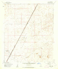
1955 Map of Desert
USGS Topo · Published 1962About this map
Fort Bliss Military Reservation dominates this stretch of the New Mexico landscape, where the vast Tularosa Valley meets the rising terrain of Three Buttes. This 1955 survey illustrates the strategic intersection of military land and transportation infrastructure, anchored by the Southern Pacific railroad corridor. Sparse settlements and infrastructure like Desert and Alvarado reflect the arid conditions and specialized use of the area during the mid-20th century. The presence of Alvarado Tank No 1 and other Water labels emphasizes the critical importance of moisture management in this high-desert environment. Map collectors and researchers can trace the Military Reservation Boundary (Approximate) as it existed before later expansions and changes to the installation footprint.
Find a feature on this map
10 named features on this map. Tap any name to fly to it.
Don’t see what you’re looking for? This feature index may not catch every label — zoom into the map to look around manually.
Map Details
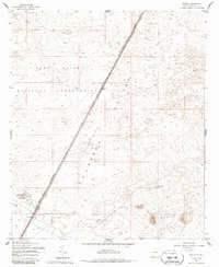
Editions of this 1955 Desert Map
2 editions found
Other maps of this area

1940 · Orogrande
USGS Topo · 1:62,500

1940 · Newman
USGS Topo · 1:62,500

1941 · Desert
USGS Topo · 1:62,500

1943 · Parker Lake
USGS Topo · 1:62,500

1943 · Desert
USGS Topo · 1:62,500

1943 · Newman
USGS Topo · 1:62,500

1943 · Orogrande
USGS Topo · 1:62,500

1947 · Desert NE
USGS Topo · 1:24,000

1948 · El Wood
USGS Topo · 1:24,000
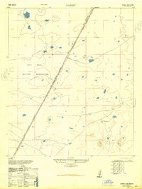
1948 · Desert
USGS Topo · 1:24,000