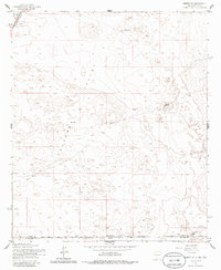
1955 Map of Desert SW
USGS Topo · Published 1986About this map
The arid landscape of the Tularosa Valley defines this borderland region where New Mexico and Texas meet. Surveyed in the mid-1950s, the map highlights the proximity of the Fort Bliss Mil Res in the northwest corner, intersected by the Southern Pacific railroad line. Human presence in this environment is marked by isolated water sources such as Hot Well and the labeled North Well, indicating the critical nature of groundwater for cattle ranching or transit. The terrain is relatively flat save for distinctive features like Davis Dome, which stands as a prominent landmark in the eastern portion of the survey. An Airstrip located near the southern boundary suggests the logistical needs of this remote interstate corridor during the post-war era.
Find a feature on this map
11 named features on this map. Tap any name to fly to it.
Don’t see what you’re looking for? This feature index may not catch every label — zoom into the map to look around manually.
Map Details
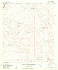
Editions of this 1955 Desert SW Map
2 editions found
Other maps of this area

1896 · El Paso
USGS Topo · 1:125,000

1908 · El Paso
USGS Topo · 1:125,000

1939 · Heuco Tanks
USGS Topo · 1:62,500

1940 · Heuco Tanks
USGS Topo · 1:62,500

1940 · Newman
USGS Topo · 1:62,500

1941 · Desert
USGS Topo · 1:62,500

1942 · Fort Bliss
USGS Topo · 1:62,500

1943 · Desert
USGS Topo · 1:62,500

1943 · Newman
USGS Topo · 1:62,500

1944 · Heuco Tanks
USGS Topo · 1:62,500