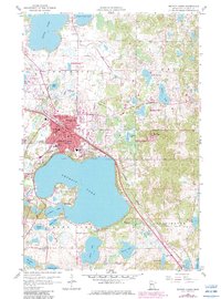
1959 Map of Detroit Lakes
USGS Topo · Published 1982About this map
Detroit Lakes serves as the focal point of this Becker County study, situated within a dense network of glacial lakes and wetlands. The city's mid-century footprint is well-defined, showing established civic structures like the Hospital, Armory, and Fairground, along with a concentrated educational system including Washington Sch, Lincoln Sch, and Jr High Sch. The town's industrial and transport links are anchored by the Soo Line and Burlington Northern railroads, which bypass the urban center and the northern shores of Detroit Lake. Beyond the city limits, the landscape transitions into managed conservation areas such as the Becker State Wildlife Management Area and the National Waterfowl Production Area. The terrain is characterized by numerous water bodies including Little Floyd Lake, Abbey Lake, and Senico Lake, separated by prominent features like Detroit Mountain and various Gravel Pit operations that reflect the local geological industry.
Find a feature on this map
48 named features on this map. Tap any name to fly to it.
Don’t see what you’re looking for? This feature index may not catch every label — zoom into the map to look around manually.
Map Details
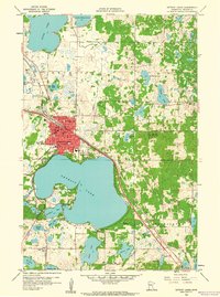
Editions of this 1959 Detroit Lakes Map
2 editions found
Other maps of this area

1912 · Vergas
USGS Topo · 1:62,500

1915 · Perham
USGS Topo · 1:62,500

1915 · Vergas
USGS Topo · 1:62,500

1953 · Brainerd
USGS Topo · 1:250,000

1957 · Brainerd
USGS Topo · 1:250,000

1958 · Brainerd
USGS Topo · 1:250,000

1959 · Flat Lake
USGS Topo · 1:24,000

1959 · Rochert
USGS Topo · 1:24,000

1959 · Richwood
USGS Topo · 1:24,000
1959 · Callaway
USGS Topo · 1:24,000