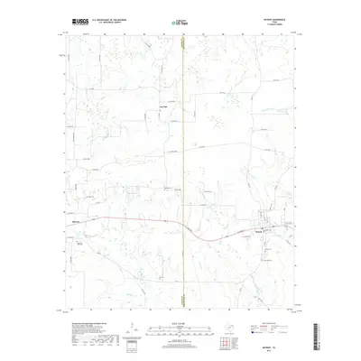
2019 Map of Detroit
USGS Topo · Published 2019About this map
Blossom and Detroit anchor this survey of the northeast Texas prairie, situated along the shared border of Lamar Co and Red River Co. The landscape is a network of creek bottoms and small drainages, including Cuthand Cr and Little Pine Cr, which have shaped the local topography and historical land use. Significant for genealogists and local historians, the area is dotted with numerous burial grounds such as the Knights of Honor Cem, Egypt Cem, and Red Oak Cem, reflecting the scattered rural communities that once thrived between the larger railroad towns. In the northern reaches, the small settlement of Post Oak remains a notable landmark in a region defined by its agricultural heritage and numerous watercourses like Denwiddie Bayou and Wildcat Cr.
Find a feature on this map
59 named features on this map. Tap any name to fly to it.
Don’t see what you’re looking for? This feature index may not catch every label — zoom into the map to look around manually.
Map Details
Editions of this 2019 Detroit Map
This is the sole edition of this map. No revisions or reprints were ever made.
Other maps of this area

1951 · Slate Shoals
USGS Topo · 1:24,000

1951 · Woodland
USGS Topo · 1:24,000

1951 · Manchester
USGS Topo · 1:24,000

1953 · Texarkana
USGS Topo · 1:250,000

1956 · Texarkana
USGS Topo · 1:250,000

1964 · Detroit
USGS Topo · 1:24,000

1964 · Deport
USGS Topo · 1:24,000

1964 · Bagwell
USGS Topo · 1:24,000

1964 · Pattonville
USGS Topo · 1:24,000

1964 · Blossom
USGS Topo · 1:24,000