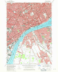
1968 Map of Detroit
USGS Topo · Published 1971About this map
Detroit and Windsor stand on opposite banks of the Detroit River, connected by the Ambassador Bridge and the Detroit-Windsor Tunnel. This late-1960s perspective captures the industrial and civic heart of the Motor City, from the dense hospital corridor including Ford Hospital and Grace Hospital to landmarks like Tiger Stadium and Cobo Hall. The Michigan side is heavily marked by institutional and educational centers such as Sacred Heart Seminary and numerous parochial schools like St Agnes Sch.
Find a feature on this map
143 named features on this map. Tap any name to fly to it.
Don’t see what you’re looking for? This feature index may not catch every label — zoom into the map to look around manually.
Map Details
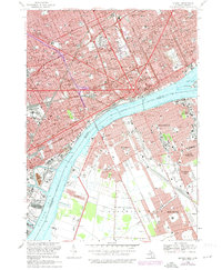
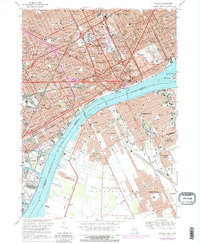
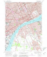
Editions of this 1968 Detroit Map
4 editions found
Other maps of this area

1905 · Detroit
USGS Topo · 1:62,500

1905 · Grosse Pointe
USGS Topo · 1:62,500

1906 · Wyandotte
USGS Topo · 1:62,500

1912 · Wyandotte
USGS Topo · 1:62,500

1918 · Detroit
USGS Topo · 1:62,500

1918 · Grosse Pointe
USGS Topo · 1:62,500

1924 · Detroit
USGS Topo · 1:62,500

1929 · Wyandotte
USGS Topo · 1:62,500

1934 · Detroit
USGS Topo · 1:62,500

1936 · Wyandotte
USGS Topo · 1:31,680