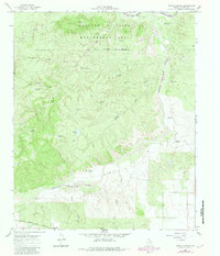
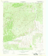
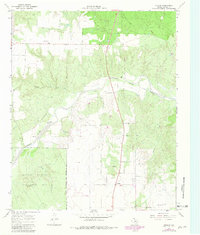
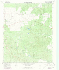
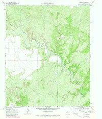
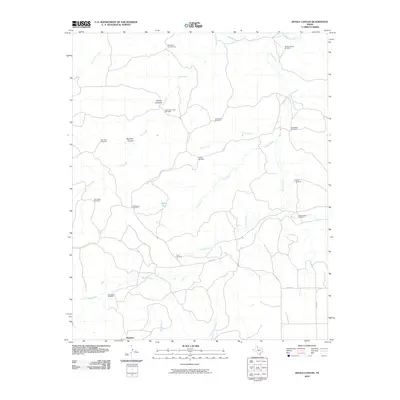
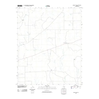
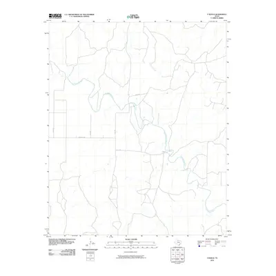
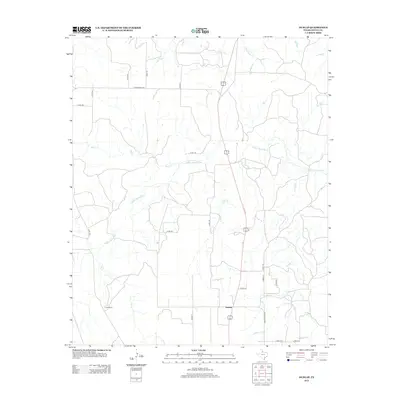
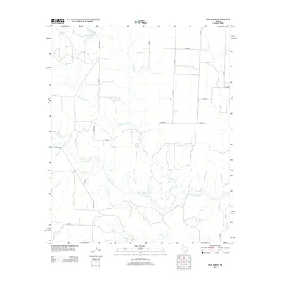
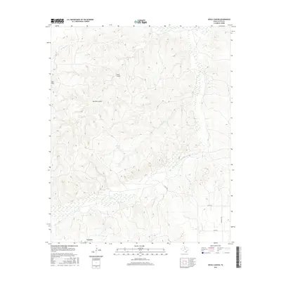
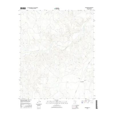
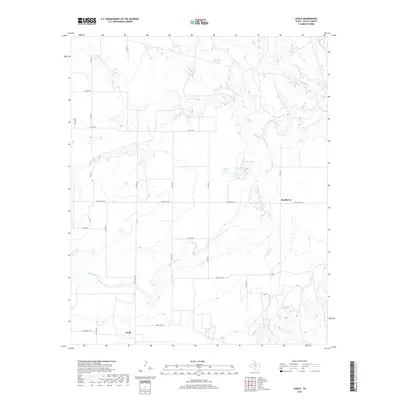
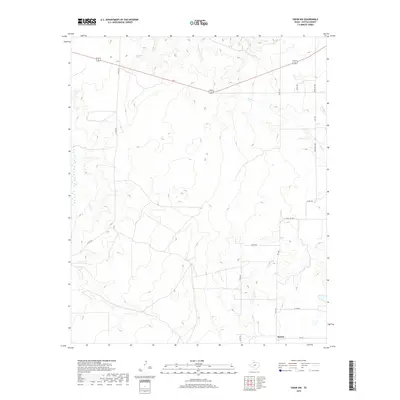
1966 Map of Devils Canyon
USGS Topo · Published 1981About this map
The Matador Wildlife Management Area dominates the northern reaches of this landscape, where the Middle Pease River and Tongue (South Pease) River converge. This mid-1960s survey documents a terrain defined by hydraulic features, with numerous named windmills like Bull Pasture Windmill and Shipping Trap Windmill supporting ranching operations across the Red Hills and Devils Canyon.
Find a feature on this map
36 named features on this map. Tap any name to fly to it.
Don’t see what you’re looking for? This feature index may not catch every label — zoom into the map to look around manually.
Map Details
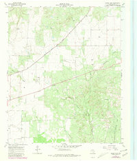
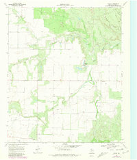
Editions of this 1966 Devils Canyon Map
2 editions found
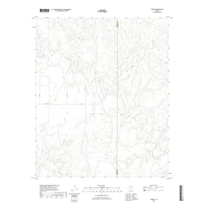
Historical Maps of Narcisso Through Time
72 maps found
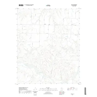
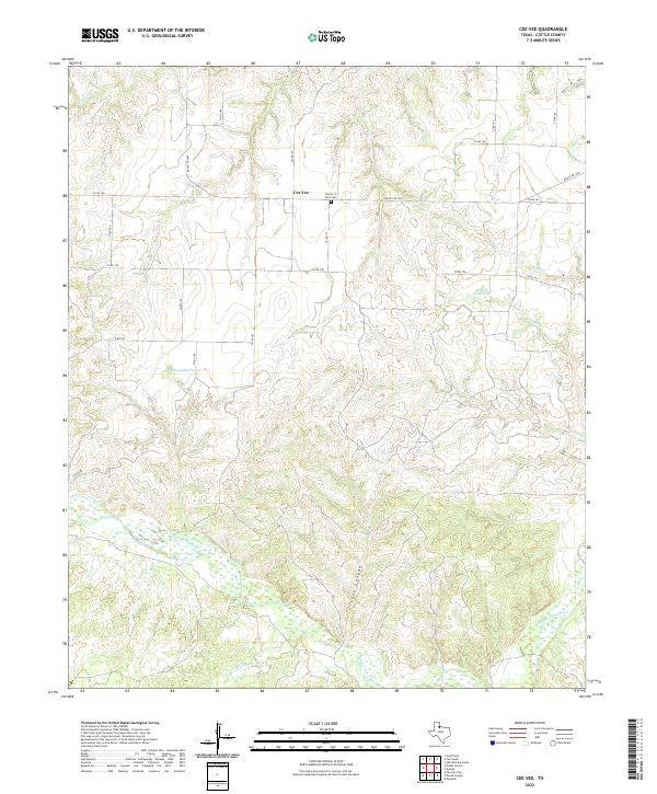
1966 Cee Vee
Cottle County, TX
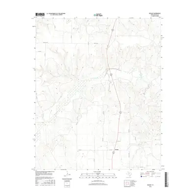
1966 Devils Canyon
Cottle County, TX
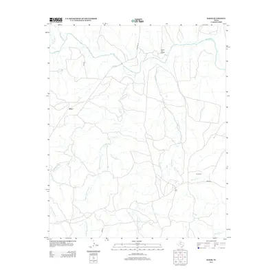
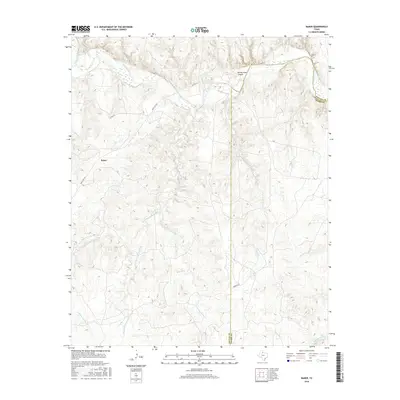
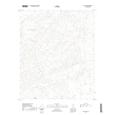
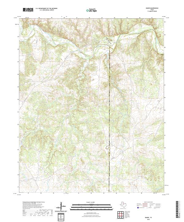
1967 Baker
Cottle County, TX
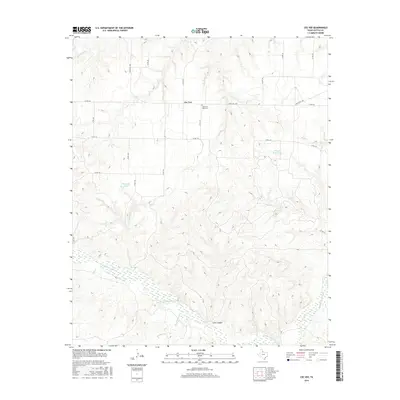
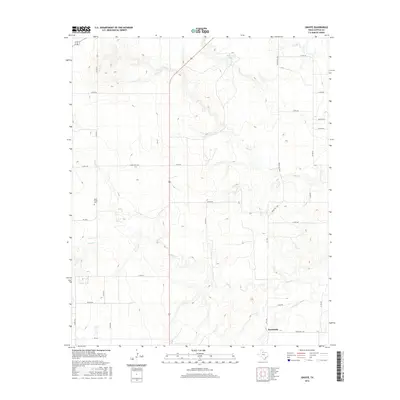
1967 Dunlap
Cottle County, TX
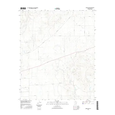
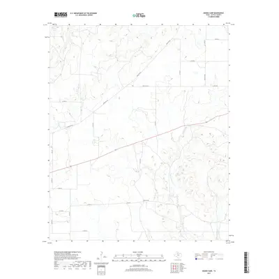
1967 Moons Camp
Cottle County, TX
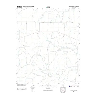
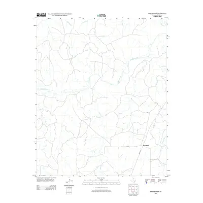
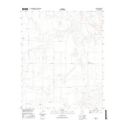
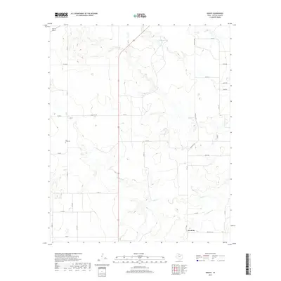
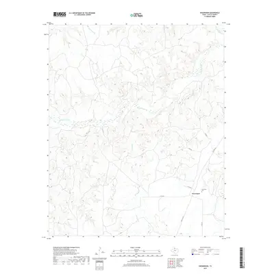
1967 Swearingen
Cottle County, TX
1967 Tell South
Cottle County, TX
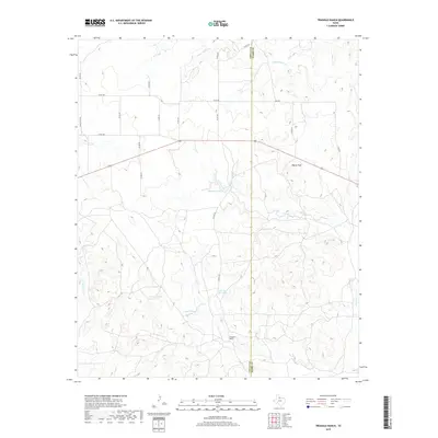
1967 Triangle Ranch
Cottle County, TX
1968 Chalk
Cottle County, TX
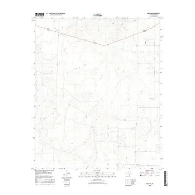
1968 Ginsite
Cottle County, TX
1968 Grow NW
Cottle County, TX
1968 Y Ranch
Cottle County, TX
2010 Baker
Cottle County, TX
2010 Cee Vee
Cottle County, TX
2010 Chalk
Cottle County, TX
2010 Devils Canyon
Cottle County, TX
2010 Dunlap
Cottle County, TX
2010 Ginsite
Cottle County, TX
2010 Grow NW
Cottle County, TX
2010 Moons Camp
Cottle County, TX
2010 Swearingen
Cottle County, TX
2010 Tell South
Cottle County, TX
2010 Triangle Ranch
Cottle County, TX
2010 Y Ranch
Cottle County, TX
2012 Cee Vee
Cottle County, TX
2012 Chalk
Cottle County, TX
2012 Devils Canyon
Cottle County, TX
2012 Dunlap
Cottle County, TX
2012 Ginsite
Cottle County, TX
2012 Grow NW
Cottle County, TX
2012 Moons Camp
Cottle County, TX
2012 Tell South
Cottle County, TX
2012 Triangle Ranch
Cottle County, TX

2012 Y Ranch
Cottle County, TX
2013 Baker
Cottle County, TX
2013 Swearingen
Cottle County, TX
2016 Baker
Cottle County, TX
2016 Cee Vee
Cottle County, TX
2016 Chalk
Cottle County, TX
2016 Devils Canyon
Cottle County, TX
2016 Dunlap
Cottle County, TX
2016 Ginsite
Cottle County, TX
2016 Grow NW
Cottle County, TX
2016 Moons Camp
Cottle County, TX
2016 Swearingen
Cottle County, TX
2016 Tell South
Cottle County, TX
2016 Triangle Ranch
Cottle County, TX
2016 Y Ranch
Cottle County, TX

2019 Baker
Cottle County, TX
2019 Cee Vee
Cottle County, TX
2019 Chalk
Cottle County, TX
2019 Devils Canyon
Cottle County, TX

2019 Dunlap
Cottle County, TX
2019 Ginsite
Cottle County, TX
2019 Grow NW
Cottle County, TX
2019 Moons Camp
Cottle County, TX
2019 Swearingen
Cottle County, TX
2019 Tell South
Cottle County, TX
2019 Triangle Ranch
Cottle County, TX
2019 Y Ranch
Cottle County, TX
2022 Baker
Cottle County, TX
2022 Cee Vee
Cottle County, TX
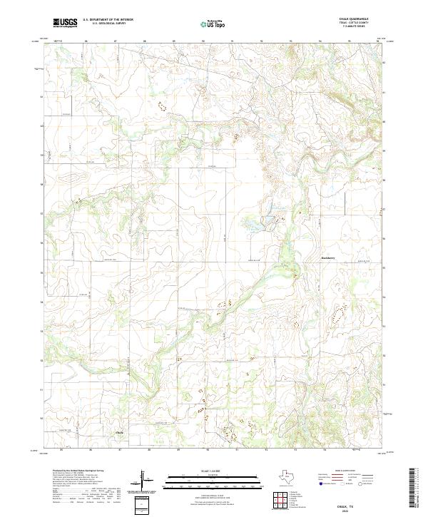
2022 Chalk
Cottle County, TX
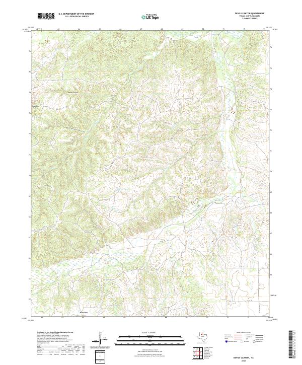
2022 Devils Canyon
Cottle County, TX
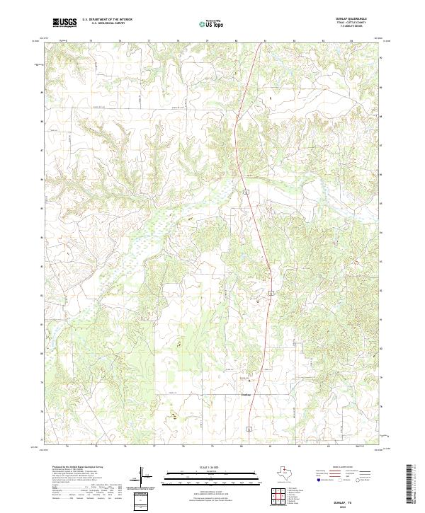
2022 Dunlap
Cottle County, TX
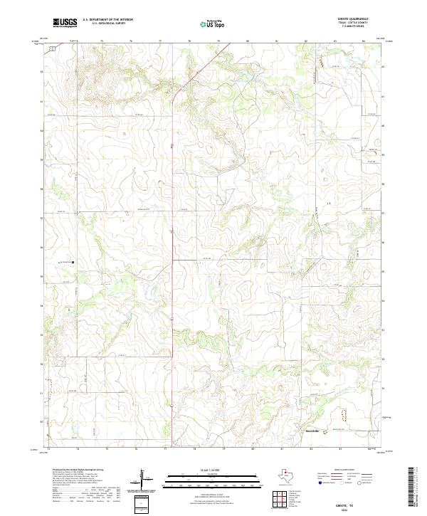
2022 Ginsite
Cottle County, TX
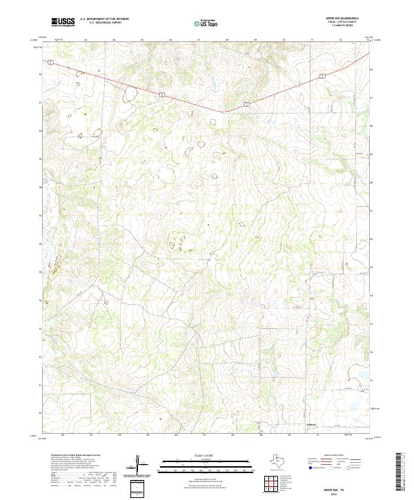
2022 Grow NW
Cottle County, TX
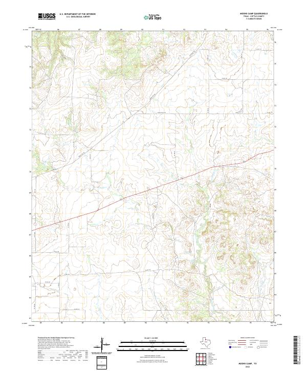
2022 Moons Camp
Cottle County, TX
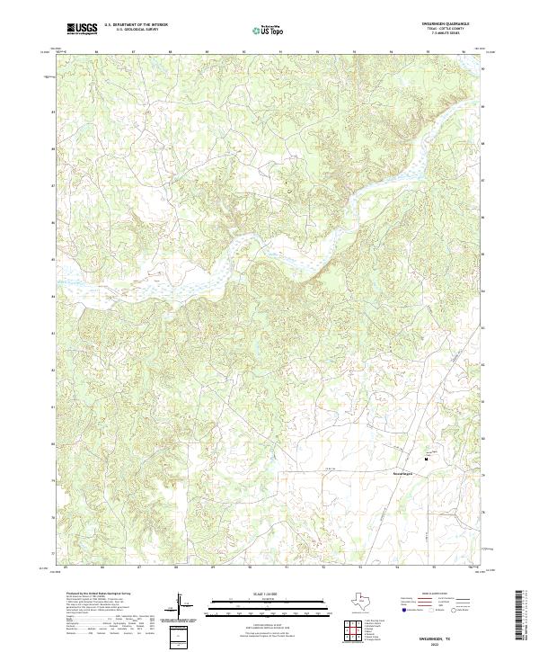
2022 Swearingen
Cottle County, TX
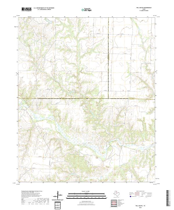
2022 Tell South
Cottle County, TX
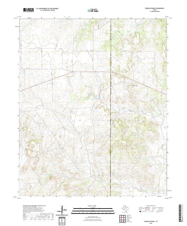
2022 Triangle Ranch
Cottle County, TX
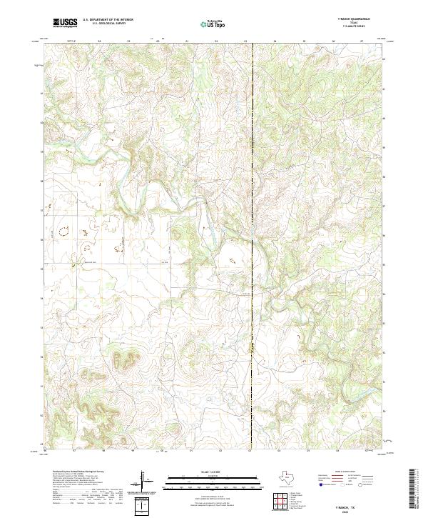
2022 Y Ranch
Cottle County, TX