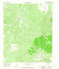
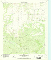
1966 Map of Tee Pee City
USGS Topo · Published 1968About this map
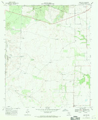
Tee Pee City remains as a memory on the landscape, marked by a Historical Marker, a Grave, and scattered Ruins near the confluence of Tee Pee Creek and the Middle Pease River. This 1960s survey documents a rugged ranching environment where life centered around water management, evidenced by the numerous windmills like Schweitzer Windmill and Dave Harris Windmill that dot the terrain. The presence of the Old Headquarters Tank suggests the ranching operations that historically defined this part of the Rolling Plains.
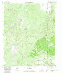
Find a feature on this map
42 named features on this map. Tap any name to fly to it.
Don’t see what you’re looking for? This feature index may not catch every label — zoom into the map to look around manually.
Map Details
Editions of this 1966 Tee Pee City Map
2 editions found
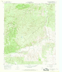
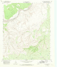
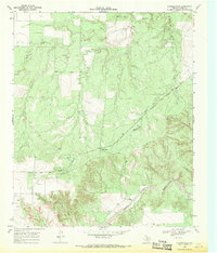
Other maps of this area

1954 · Lubbock
USGS Topo · 1:250,000

1954 · Plainview
USGS Topo · 1:250,000

1958 · Plainview
USGS Topo · 1:250,000
1966 · Fields Canyon
USGS Topo · 1:24,000
1966 · Ballard Camp
USGS Topo · 1:24,000
1966 · Cee Vee
USGS Topo · 1:24,000
1966 · Devils Canyon
USGS Topo · 1:24,000
1967 · Turtle Hole Camp
USGS Topo · 1:24,000
1968 · Russellville
USGS Topo · 1:24,000
1968 · Grow NW
USGS Topo · 1:24,000