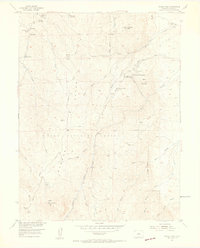
1954 Map of Devils Head
USGS Topo · Published 1955About this map
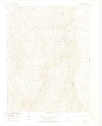
Pike National Forest dominates this mid-century topography, characterized by a complex network of gulches and ridges in the Colorado Front Range. The prominent Devils Head Lookout Tower and Virgins Bath Overlook stand as critical landmarks overlooking the Rampart Range Road. This 1954 field check captures an interesting social landscape, documenting the grounds of the Brotherhood of the White Temple and Shamballah-Ashrama alongside more traditional recreation sites like Rock Springs Campground. The mapping of several private livestock operations, such as the Hy-Way Hereford Ranch and Bear Mountain Ranch, alongside the Pineview Ranch (Aband), illustrates the shifting land use from active ranching to forest service management and spiritual retreats during the post-war era.
Find a feature on this map
40 named features on this map. Tap any name to fly to it.
Don’t see what you’re looking for? This feature index may not catch every label — zoom into the map to look around manually.
Map Details
Editions of this 1954 Devils Head Map
9 editions found

Other maps of this area

1893 · Platte Canyon
USGS Topo · 1:125,000

1894 · Castle Rock
USGS Topo · 1:125,000

1913 · Castle Rock
USGS Topo · 1:125,000

1940 · Castle Rock
USGS Topo · 1:62,500

1945 · Castle Rock
USGS Topo · 1:62,500

1945 · Platte Canyon
USGS Topo · 1:24,000

1945 · Kassler
USGS Topo · 1:24,000

1948 · Kassler
USGS Topo · 1:24,000

1948 · Platte Canyon
USGS Topo · 1:24,000

1953 · Denver
USGS Topo · 1:250,000