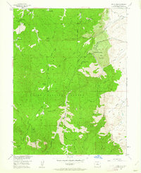
1954 Map of Devils Head
USGS Topo · Published 1962About this map
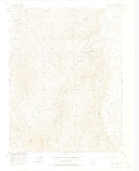
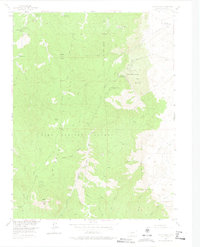
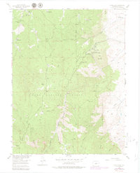
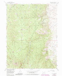
Devils Head and its prominent Lookout Tower anchor this mid-century survey of the high country within the Pike National Forest. The landscape is defined by a distinct cluster of specialized retreats and residential ranches, most notably the Shamballah-Ashrama and the Brotherhood of the White Temple situated near Gott Mountain. These spiritual and educational enclaves are joined by recreational sites like Camp Colorado, Silver State Youth Camp, and Moonridge, reflecting the area's development as a destination for seasonal residence and youth organizations. The drainage patterns of the Rampart Range are intricately detailed, showing the networks of North Garber Creek and South Garber Creek as they cut through the terrain. Significant granite formations like Elephant Rock and Bergen Rock serve as literal landmarks among the scattered cattle operations, including the Hy-Way Hereford Ranch and E-B Ranch.
Find a feature on this map
34 named features on this map. Tap any name to fly to it.
Don’t see what you’re looking for? This feature index may not catch every label — zoom into the map to look around manually.
Map Details
Editions of this 1954 Devils Head Map
9 editions found

Other maps of this area

1893 · Platte Canyon
USGS Topo · 1:125,000

1894 · Castle Rock
USGS Topo · 1:125,000

1913 · Castle Rock
USGS Topo · 1:125,000

1940 · Castle Rock
USGS Topo · 1:62,500

1945 · Castle Rock
USGS Topo · 1:62,500

1945 · Platte Canyon
USGS Topo · 1:24,000

1945 · Kassler
USGS Topo · 1:24,000

1948 · Kassler
USGS Topo · 1:24,000

1948 · Platte Canyon
USGS Topo · 1:24,000

1953 · Denver
USGS Topo · 1:250,000