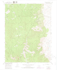
1954 Map of Devils Head
USGS Topo · Published 1979About this map
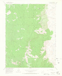
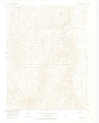
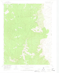
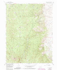
Devils Head and the surrounding Pike National Forest dominate this mid-century survey of the Rampart Range in Douglas County. The landscape is defined by a distinct cluster of specialized retreats and spiritual centers, most notably the Brotherhood of the White Temple and Shamballah-Ashrama situated near Gott Mountain. These establishments, alongside the Silver State Youth Camp and Camp Colorado, suggest a mid-century transition toward recreational and communal use of these high elevations.
Find a feature on this map
37 named features on this map. Tap any name to fly to it.
Don’t see what you’re looking for? This feature index may not catch every label — zoom into the map to look around manually.
Map Details
Editions of this 1954 Devils Head Map
9 editions found

Other maps of this area

1893 · Platte Canyon
USGS Topo · 1:125,000

1894 · Castle Rock
USGS Topo · 1:125,000

1913 · Castle Rock
USGS Topo · 1:125,000

1940 · Castle Rock
USGS Topo · 1:62,500

1945 · Castle Rock
USGS Topo · 1:62,500

1945 · Platte Canyon
USGS Topo · 1:24,000

1945 · Kassler
USGS Topo · 1:24,000

1948 · Kassler
USGS Topo · 1:24,000

1948 · Platte Canyon
USGS Topo · 1:24,000

1953 · Denver
USGS Topo · 1:250,000