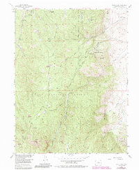
1954 Map of Devils Head
USGS Topo · Published 1985About this map
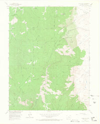
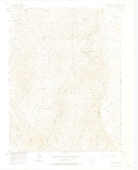
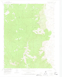
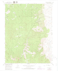
The Rampart Range dominates this mid-century topographic record, defined by the prominent Devils Head summit and its Devils Head Lookout Tower. Located within the Pike National Forest, the area reveals a landscape shifting from traditional ranching, represented by the Hy-Way Hereford Ranch and Round-Up Ranch, toward spiritual and youth-oriented retreats. Notable institutions include the Shamballah-Ashrama and the Brotherhood of the White Temple, both established in the rugged canyons near Gott Mountain.
Find a feature on this map
38 named features on this map. Tap any name to fly to it.
Don’t see what you’re looking for? This feature index may not catch every label — zoom into the map to look around manually.
Map Details
Editions of this 1954 Devils Head Map
9 editions found

Other maps of this area

1893 · Platte Canyon
USGS Topo · 1:125,000

1894 · Castle Rock
USGS Topo · 1:125,000

1913 · Castle Rock
USGS Topo · 1:125,000

1940 · Castle Rock
USGS Topo · 1:62,500

1945 · Castle Rock
USGS Topo · 1:62,500

1945 · Platte Canyon
USGS Topo · 1:24,000

1945 · Kassler
USGS Topo · 1:24,000

1948 · Kassler
USGS Topo · 1:24,000

1948 · Platte Canyon
USGS Topo · 1:24,000

1953 · Denver
USGS Topo · 1:250,000